Lima geodata
Lima is a capital of a political entity; located in Peru in America/Lima (GMT-5) time zone. With population of 7,737,002 people, there are 0 cities with bigger population in this country. Compared to other cities in Peru, 53.6% of cities are located further ↑North; 67.5% of cities are located further →East and 86.6% of cities have higher elevation than Lima. Note1


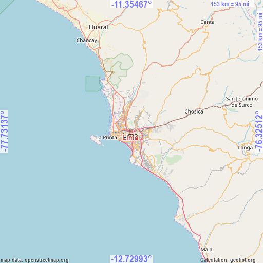
Lima GPS coordinates[2]
12° 2' 35.448" South, 77° 1' 41.664" West
| Map corner | latitude | longitude |
|---|---|---|
| Upper-left | -11.35467°, | -77.73137° |
| Center: | -12.04318°, | -77.02824° |
| Lower-right: | -12.72993°, | -76.32512° |
| Map W x H: | 152.9×152.9 km | = 95×95mi |
| max Lat: | -0.96667° ⇑53.6% North |
| Lima: | -12.04318° |
| min Lat: | ⇓46.4% South -18.01465° |
| min Long | Lima | max Long |
| -81.30472° | -77.02824° | -69.04167° |
| W 32.5%⇐ | ⇒67.5% E |
Elevation
Elevation of Lima is 152 m = 499 ft, and this is 2166.7 m = 7109 ft below average elevation for this country.
| Max E: |
5022 m = 16476 ft | 86.6% |
| Avg. | 2318.7 m = 7607 ft | |
| Lima | 152 m = 499 ft | |
Min E: |
1 m = 3 ft | 13.4% |
See also: Lima elevation on elevation.city.
Geographical zone
Lima is located in South Torrid zone (between Equator and Tropic of Capricorn). Distance of this Southern Tropic circle is 1266.8 km =787.2 mi to South.| Distance of | km | miles | from Lima |
|---|---|---|---|
| Equator | 1339.1 | 832.1 | to North |
| Tropic Capricorn | 1266.8 | 787.2 | to South |
| Antarctic Circle | 6062.1 | 3766.8 | to South |
| South Pole | 8668 | 5386 | to South |


Nearby cities:
15 places around Lima: (largest is in red/bold)
• Callao
9.9 km =6.2 mi,  261°
261°
• Carabayllo
21.1 km =13.1 mi,  357°
357°
• Chaclacayo
29.1 km =18.1 mi,  76°
76°
• Chosica
36.4 km =22.6 mi,  72°
72°
• Cieneguilla
25.1 km =15.6 mi,  113°
113°
• Independencia
6.2 km =3.9 mi,  342°
342°
• La Molina
9.6 km =6 mi,  117°
117°
• San Isidro
8.5 km =5.3 mi,  196°
196°
• San Luis
5.2 km =3.2 mi,  135°
135°
• Santa María
15.3 km =9.5 mi, 74°
• Santa Rosa
31.4 km =19.5 mi,  329°
329°
• Santiago de Surco
10.6 km =6.6 mi,  167°
167°
• Urb. Santo Domingo
18.5 km =11.5 mi, 358°
• Ventanilla
21.1 km =13.1 mi, 332°
• Vitarte
10.4 km =6.5 mi, 83°
Sources, notices
• [Note1] Compared only with cities in Peru existing in our database
• [Src1] Map data: © OpenStreetMap contributors (CC-BY-SA)
• [Src2] Other city data from geonames.org with taken over terms of usage.
• [Src3] Geographical zone / Annual Mean Temperature by Robert A. Rohde @ Wikipedia
