Jucul geodata
Jucul (Lima region) is a seat of a third-order administrative division; located in Peru in America/Lima (GMT-5) time zone. In our database, there are 305 cities with bigger population. Compared to other cities in Peru, 55.8% of cities are located further ↓South; 63.3% of cities are located further →East and 81.4% of cities have lower elevation than Jucul. Note1


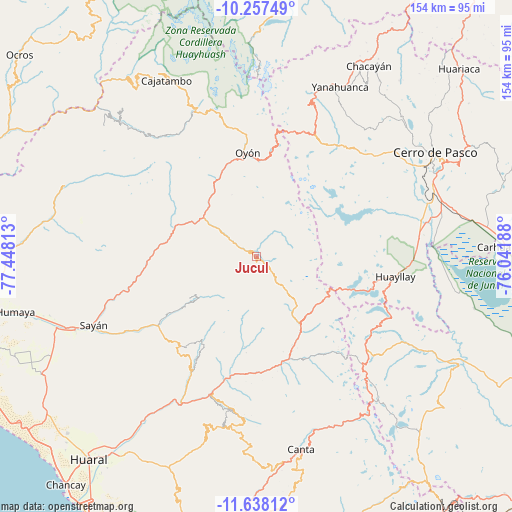
Jucul GPS coordinates[2]
10° 56' 54.996" South, 76° 44' 42" West
| Map corner | latitude | longitude |
|---|---|---|
| Upper-left | -10.25749°, | -77.44813° |
| Center: | -10.94861°, | -76.745° |
| Lower-right: | -11.63812°, | -76.04188° |
| Map W x H: | 153.5×153.5 km | = 95.4×95.4mi |
| max Lat: | -0.96667° ⇑44.2% North |
| Jucul: | -10.94861° |
| min Lat: | ⇓55.8% South -18.01465° |
| min Long | Jucul | max Long |
| -81.30472° | -76.745° | -69.04167° |
| W 36.7%⇐ | ⇒63.3% E |
Elevation
Elevation of Jucul is 3553 m = 11657 ft, and this is 1234.3 m = 4050 ft above average elevation for this country.
| Max E: |
5022 m = 16476 ft | 18.6% |
| Jucul | 3553 m 11657 ft | |
| Avg. | 2318.7 m = 7607 ft | |
Min E: |
1 m = 3 ft | 81.4% |
See also: Peru elevation on elevation.city.
Geographical zone
Jucul is located in South Torrid zone (between Equator and Tropic of Capricorn). Distance of Equator is 1217.4 km =756.5 mi to North.| Distance of | km | miles | from Jucul |
|---|---|---|---|
| Equator | 1217.4 | 756.5 | to North |
| Tropic Capricorn | 1388.5 | 862.8 | to South |
| Antarctic Circle | 6183.8 | 3842.4 | to South |
| South Pole | 8789.7 | 5461.7 | to South |


Nearby cities:
15 places around Jucul: (largest is in red/bold)
• Acos
37.1 km =23.1 mi,  192°
192°
• Andajes
25 km =15.5 mi,  314°
314°
• Carac
27.3 km =17 mi, 188°
• Caujul
30.1 km =18.7 mi,  301°
301°
• Gorgor
51.4 km =31.9 mi,  322°
322°
• Huayllay
42 km =26.1 mi,  98°
98°
• Ihuari
35 km =21.7 mi,  220°
220°
• Lampian
33.8 km =21 mi,  197°
197°
• Maray
9.8 km =6.1 mi,  278°
278°
• Oyón
31.3 km =19.4 mi,  354°
354°
• Pacaraos
28.5 km =17.7 mi,  158°
158°
• Paccho
20.5 km =12.7 mi,  267°
267°
• Pirca
33.2 km =20.6 mi, 162°
• Santa Cruz
23.7 km =14.7 mi,  238°
238°
• Sumbilca
51.7 km =32.1 mi, 189°
Sources, notices
• [Note1] Compared only with cities in Peru existing in our database
• [Src1] Map data: © OpenStreetMap contributors (CC-BY-SA)
• [Src2] Other city data from geonames.org with taken over terms of usage.
• [Src3] Geographical zone / Annual Mean Temperature by Robert A. Rohde @ Wikipedia
