Gorgor geodata
Gorgor (Lima region) is a seat of a third-order administrative division; located in Peru in America/Lima (GMT-5) time zone. In our database, there are 305 cities with bigger population. Compared to other cities in Peru, 57.3% of cities are located further ↓South; 67.6% of cities are located further →East and 95.4% of cities have lower elevation than Gorgor. Note1


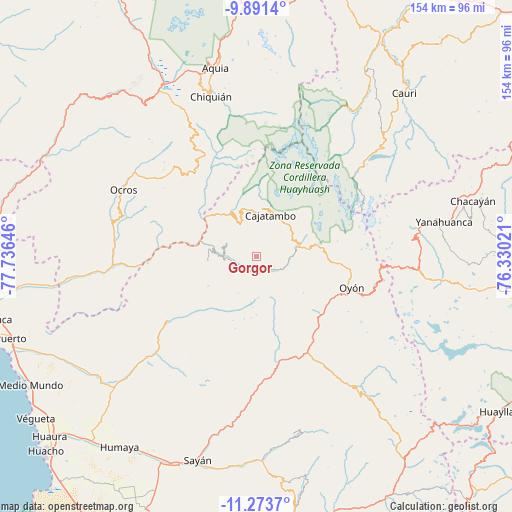
Gorgor GPS coordinates[2]
10° 34' 59.988" South, 77° 1' 59.988" West
| Map corner | latitude | longitude |
|---|---|---|
| Upper-left | -9.8914°, | -77.73646° |
| Center: | -10.58333°, | -77.03333° |
| Lower-right: | -11.2737°, | -76.33021° |
| Map W x H: | 153.7×153.7 km | = 95.5×95.5mi |
| max Lat: | -0.96667° ⇑42.7% North |
| Gorgor: | -10.58333° |
| min Lat: | ⇓57.3% South -18.01465° |
| min Long | Gorgor | max Long |
| -81.30472° | -77.03333° | -69.04167° |
| W 32.4%⇐ | ⇒67.6% E |
Elevation
Elevation of Gorgor is 4066 m = 13340 ft, and this is 1747.3 m = 5733 ft above average elevation for this country.
| Max E: |
5022 m = 16476 ft | 4.6% |
| Gorgor | 4066 m 13340 ft | |
| Avg. | 2318.7 m = 7607 ft | |
Min E: |
1 m = 3 ft | 95.4% |
See also: Peru elevation on elevation.city.
Geographical zone
Gorgor is located in South Torrid zone (between Equator and Tropic of Capricorn). Distance of Equator is 1176.8 km =731.2 mi to North.| Distance of | km | miles | from Gorgor |
|---|---|---|---|
| Equator | 1176.8 | 731.2 | to North |
| Tropic Capricorn | 1429.2 | 888.1 | to South |
| Antarctic Circle | 6224.4 | 3867.7 | to South |
| South Pole | 8830.3 | 5486.9 | to South |


Nearby cities:
15 places around Gorgor: (largest is in red/bold)
• Acas
35 km =21.7 mi,  293°
293°
• Aco
24.7 km =15.3 mi, 292°
• Ambar
30.5 km =19 mi,  236°
236°
• Andajes
26.9 km =16.7 mi,  149°
149°
• Canis
31 km =19.3 mi,  331°
331°
• Caujul
25.4 km =15.8 mi,  166°
166°
• Copa
22.3 km =13.9 mi,  346°
346°
• Corpanqui
37.8 km =23.5 mi, 331°
• Llaclla
33.9 km =21.1 mi,  338°
338°
• Llipa
29.3 km =18.2 mi,  319°
319°
• Mangas
24.4 km =15.2 mi, 342°
• Ocros
44.5 km =27.7 mi,  296°
296°
• Oyón
30.1 km =18.7 mi,  108°
108°
• Paccho
43 km =26.7 mi, 165°
• Ticllos
40.5 km =25.2 mi, 334°
Sources, notices
• [Note1] Compared only with cities in Peru existing in our database
• [Src1] Map data: © OpenStreetMap contributors (CC-BY-SA)
• [Src2] Other city data from geonames.org with taken over terms of usage.
• [Src3] Geographical zone / Annual Mean Temperature by Robert A. Rohde @ Wikipedia
