Huaral geodata
Huaral (Lima region) is a seat of a third-order administrative division; located in Peru in America/Lima (GMT-5) time zone. With population of 62,174 people, there are 28 cities with bigger population in this country. Compared to other cities in Peru, 52.4% of cities are located further ↓South; 69.7% of cities are located further →East and 84.9% of cities have higher elevation than Huaral. Note1


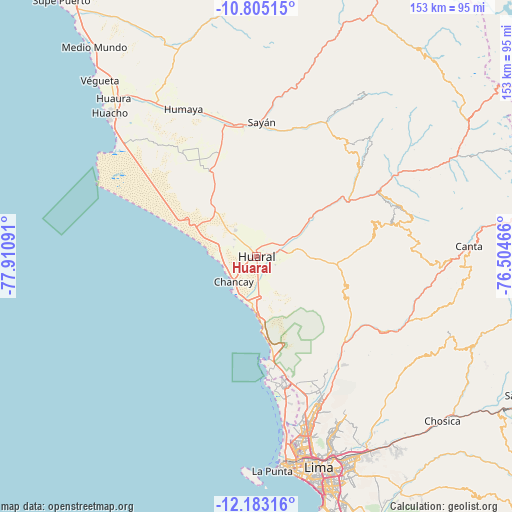
Huaral GPS coordinates[2]
11° 29' 42" South, 77° 12' 28.008" West
| Map corner | latitude | longitude |
|---|---|---|
| Upper-left | -10.80515°, | -77.91091° |
| Center: | -11.495°, | -77.20778° |
| Lower-right: | -12.18316°, | -76.50466° |
| Map W x H: | 153.2×153.2 km | = 95.2×95.2mi |
| max Lat: | -0.96667° ⇑47.6% North |
| Huaral: | -11.495° |
| min Lat: | ⇓52.4% South -18.01465° |
| min Long | Huaral | max Long |
| -81.30472° | -77.20778° | -69.04167° |
| W 30.3%⇐ | ⇒69.7% E |
Elevation
Elevation of Huaral is 183 m = 600 ft, and this is 2135.7 m = 7007 ft below average elevation for this country.
| Max E: |
5022 m = 16476 ft | 84.9% |
| Avg. | 2318.7 m = 7607 ft | |
| Huaral | 183 m = 600 ft | |
Min E: |
1 m = 3 ft | 15.1% |
See also: Huaral elevation on elevation.city.
Geographical zone
Huaral is located in South Torrid zone (between Equator and Tropic of Capricorn). Distance of Equator is 1278.1 km =794.2 mi to North.| Distance of | km | miles | from Huaral |
|---|---|---|---|
| Equator | 1278.1 | 794.2 | to North |
| Tropic Capricorn | 1327.8 | 825.1 | to South |
| Antarctic Circle | 6123 | 3804.7 | to South |
| South Pole | 8728.9 | 5423.9 | to South |


Nearby cities:
15 places around Huaral: (largest is in red/bold)
• Acos
48.8 km =30.3 mi,  59°
59°
• Aucallama
7.6 km =4.7 mi,  157°
157°
• Carabayllo
43.9 km =27.3 mi, 155°
• Carac
57.5 km =35.7 mi,  54°
54°
• Chancay
10.7 km =6.6 mi,  217°
217°
• Huamantanga
50 km =31.1 mi,  90°
90°
• Ihuari
44 km =27.3 mi,  39°
39°
• Lampian
49.3 km =30.6 mi, 54°
• Santa Cruz
57.1 km =35.5 mi,  32°
32°
• Santa Rosa
34 km =21.1 mi,  173°
173°
• Sayán
40.2 km =25 mi,  2°
2°
• Sumbilca
43.4 km =27 mi,  77°
77°
• Urb. Santo Domingo
46.5 km =28.9 mi, 155°
• Ventanilla
43.4 km =27 mi, 167°
• Yangas
45.3 km =28.1 mi,  119°
119°
Sources, notices
• [Note1] Compared only with cities in Peru existing in our database
• [Src1] Map data: © OpenStreetMap contributors (CC-BY-SA)
• [Src2] Other city data from geonames.org with taken over terms of usage.
• [Src3] Geographical zone / Annual Mean Temperature by Robert A. Rohde @ Wikipedia
