Crucero geodata
Crucero (Puno) is a seat of a third-order administrative division; located in Peru in America/Lima (GMT-5) time zone. In our database, there are 305 cities with bigger population. Compared to other cities in Peru, 80.8% of cities are located further ↑North; 96.4% of cities are located further ←West and 97.2% of cities have lower elevation than Crucero. Note1


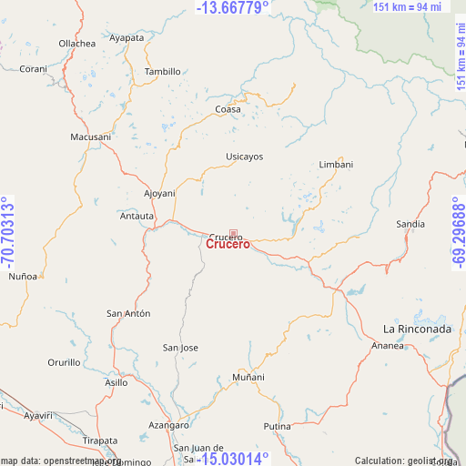
Crucero GPS coordinates[2]
14° 21' 0" South, 70° 0' 0" West
| Map corner | latitude | longitude |
|---|---|---|
| Upper-left | -13.66779°, | -70.70313° |
| Center: | -14.35°, | -70° |
| Lower-right: | -15.03014°, | -69.29688° |
| Map W x H: | 151.5×151.5 km | = 94.1×94.1mi |
| max Lat: | -0.96667° ⇑80.8% North |
| Crucero: | -14.35° |
| min Lat: | ⇓19.2% South -18.01465° |
| min Long | Crucero | max Long |
| -81.30472° | -70° | -69.04167° |
| W 96.4%⇐ | ⇒3.6% E |
Elevation
Elevation of Crucero is 4213 m = 13822 ft, and this is 1894.3 m = 6215 ft above average elevation for this country.
| Max E: |
5022 m = 16476 ft | 2.8% |
| Crucero | 4213 m 13822 ft | |
| Avg. | 2318.7 m = 7607 ft | |
Min E: |
1 m = 3 ft | 97.2% |
See also: Peru elevation on elevation.city.
Geographical zone
Crucero is located in South Torrid zone (between Equator and Tropic of Capricorn). Distance of this Southern Tropic circle is 1010.3 km =627.8 mi to South.| Distance of | km | miles | from Crucero |
|---|---|---|---|
| Equator | 1595.6 | 991.5 | to North |
| Tropic Capricorn | 1010.3 | 627.8 | to South |
| Antarctic Circle | 5805.6 | 3607.4 | to South |
| South Pole | 8411.5 | 5226.7 | to South |


Nearby cities:
15 places around Crucero: (largest is in red/bold)
• Ajoyani
35.2 km =21.9 mi,  322°
322°
• Ananea
62.1 km =38.6 mi,  128°
128°
• Antauta
39.9 km =24.8 mi,  261°
261°
• Asillo
61.2 km =38 mi,  218°
218°
• Coasa
39.1 km =24.3 mi,  5°
5°
• Cuyocuyo
51.6 km =32.1 mi,  105°
105°
• Limbani
40.4 km =25.1 mi,  56°
56°
• Macusani
55.3 km =34.4 mi,  302°
302°
• Muñani
46.6 km =29 mi,  173°
173°
• Patambuco
41.1 km =25.5 mi,  91°
91°
• Phara
42.5 km =26.4 mi, 58°
• Potoni
9.7 km =6 mi,  247°
247°
• Putina
64.6 km =40.1 mi, 167°
• Sandia
62.4 km =38.8 mi,  78°
78°
• Usicayos
25.3 km =15.7 mi, 8°
Sources, notices
• [Note1] Compared only with cities in Peru existing in our database
• [Src1] Map data: © OpenStreetMap contributors (CC-BY-SA)
• [Src2] Other city data from geonames.org with taken over terms of usage.
• [Src3] Geographical zone / Annual Mean Temperature by Robert A. Rohde @ Wikipedia
