Villa Verde geodata
Villa Verde (Cagayan Valley) is a seat of a third-order administrative division; located in Philippines in Asia/Manila (GMT+8) time zone. In our database, there are 4166 cities with bigger population. Compared to other cities in Philippines, 91.4% of cities are located further ↓South; 71.9% of cities are located further →East and 91.1% of cities have lower elevation than Villa Verde. Note1
Administrative division(s):
- Level 1: Cagayan Valley
- Level 2: Province of Nueva Vizcaya
- Level 3: Villaverde


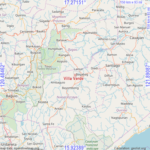
Villa Verde GPS coordinates[2]
16° 35' 55.968" North, 121° 11' 15.864" East
| Map corner | latitude | longitude |
|---|---|---|
| Upper-left | 17.27151°, | 120.48462° |
| Center: | 16.59888°, | 121.18774° |
| Lower-right: | 15.92389°, | 121.89087° |
| Map W x H: | 149.8×149.8 km | = 93.1×93.1mi |
| max Lat: | 20.78733° ⇑8.6% North |
| Villa Verde: | 16.59888° |
| min Lat: | ⇓91.4% South 4.65442° |
| min Long | Villa Verde | max Long |
| 117.04868° | 121.18774° | 126.58417° |
| W 28.1%⇐ | ⇒71.9% E |
Elevation
Elevation of Villa Verde is 257 m = 843 ft, and this is 169.1 m = 555 ft above average elevation for this country.
| Max E: |
2262 m = 7421 ft | 8.9% |
| Villa Verde | 257 m 843 ft | |
| Avg. | 87.9 m = 288 ft | |
Min E: |
-2 m = -7 ft | 91.1% |
See also: Philippines elevation on elevation.city.
Geographical zone
Villa Verde is located in North Torrid zone (between Equator and Tropic of Cancer). Distance of this Northern Tropic circle is 760.3 km =472.4 mi to North.| Distance of | km | miles | from Villa Verde |
|---|---|---|---|
| North Pole | 8161.4 | 5071.3 | to North |
| Arctic Circle | 5555.6 | 3452.1 | to North |
| Tropic Cancer | 760.3 | 472.4 | to North |
| Equator | 1845.6 | 1146.8 | to South |


Nearby cities:
15 places around Villa Verde: (largest is in red/bold)
• Bagabag
7.1 km =4.4 mi,  82°
82°
• Baggabag B
10.3 km =6.4 mi,  178°
178°
• Baguinge
21.7 km =13.5 mi,  336°
336°
• Bayombong
13.7 km =8.5 mi,  197°
197°
• Bintawan
2.6 km =1.6 mi, 180°
• Buliwao
13.7 km =8.5 mi,  159°
159°
• Busilak
15.1 km =9.4 mi,  206°
206°
• Diadi
23.1 km =14.4 mi,  52°
52°
• Ibung
1.2 km =0.7 mi,  351°
351°
• Kiangan
22.5 km =14 mi,  331°
331°
• Lamut
6.8 km =4.2 mi,  35°
35°
• Quezon
13.8 km =8.6 mi,  142°
142°
• Solano
8.9 km =5.5 mi, 184°
• Tuao
7.6 km =4.7 mi,  98°
98°
• Uddiawan
5.9 km =3.7 mi,  221°
221°
Sources, notices
• [Note1] Compared only with cities in Philippines existing in our database
• [Src1] Map data: © OpenStreetMap contributors (CC-BY-SA)
• [Src2] Other city data from geonames.org with taken over terms of usage.
• [Src3] Geographical zone / Annual Mean Temperature by Robert A. Rohde @ Wikipedia
