Kiangan geodata
Kiangan (Cordillera) is a seat of a third-order administrative division; located in Philippines in Asia/Manila (GMT+8) time zone. In our database, there are 4166 cities with bigger population. Compared to other cities in Philippines, 92.1% of cities are located further ↓South; 74.2% of cities are located further →East and 98.3% of cities have lower elevation than Kiangan. Note1


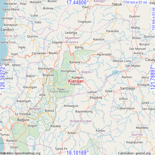
Kiangan GPS coordinates[2]
16° 46' 33.852" North, 121° 5' 9.024" East
| Map corner | latitude | longitude |
|---|---|---|
| Upper-left | 17.44806°, | 120.38272° |
| Center: | 16.77607°, | 121.08584° |
| Lower-right: | 16.10169°, | 121.78897° |
| Map W x H: | 149.7×149.7 km | = 93×93mi |
| max Lat: | 20.78733° ⇑7.9% North |
| Kiangan: | 16.77607° |
| min Lat: | ⇓92.1% South 4.65442° |
| min Long | Kiangan | max Long |
| 117.04868° | 121.08584° | 126.58417° |
| W 25.8%⇐ | ⇒74.2% E |
Elevation
Elevation of Kiangan is 796 m = 2612 ft, and this is 708.1 m = 2323 ft above average elevation for this country.
| Max E: |
2262 m = 7421 ft | 1.7% |
| Kiangan | 796 m 2612 ft | |
| Avg. | 87.9 m = 288 ft | |
Min E: |
-2 m = -7 ft | 98.3% |
See also: Philippines elevation on elevation.city.
Geographical zone
Kiangan is located in North Torrid zone (between Equator and Tropic of Cancer). Distance of this Northern Tropic circle is 740.6 km =460.2 mi to North.| Distance of | km | miles | from Kiangan |
|---|---|---|---|
| North Pole | 8141.7 | 5059 | to North |
| Arctic Circle | 5535.8 | 3439.8 | to North |
| Tropic Cancer | 740.6 | 460.2 | to North |
| Equator | 1865.3 | 1159 | to South |


Nearby cities:
15 places around Kiangan: (largest is in red/bold)
• Baculongan
27 km =16.8 mi,  275°
275°
• Bagabag
26 km =16.2 mi,  136°
136°
• Baguinge
2.2 km =1.4 mi,  85°
85°
• Banaue
15.5 km =9.6 mi,  350°
350°
• Bangao
26.6 km =16.5 mi, 280°
• Bintawan
24.8 km =15.4 mi,  154°
154°
• Bocos
17 km =10.6 mi, 349°
• Hapao
13.7 km =8.5 mi,  327°
327°
• Ibung
21.4 km =13.3 mi, 150°
• Lagawe
4.4 km =2.7 mi,  53°
53°
• Lamut
20.5 km =12.7 mi,  133°
133°
• Monamon
24.6 km =15.3 mi,  298°
298°
• Tuao
27.8 km =17.3 mi, 138°
• Uddiawan
25.1 km =15.6 mi,  163°
163°
• Villa Verde
22.5 km =14 mi, 151°
Sources, notices
• [Note1] Compared only with cities in Philippines existing in our database
• [Src1] Map data: © OpenStreetMap contributors (CC-BY-SA)
• [Src2] Other city data from geonames.org with taken over terms of usage.
• [Src3] Geographical zone / Annual Mean Temperature by Robert A. Rohde @ Wikipedia
