Tucdao geodata
Tucdao (Eastern Visayas) is a populated place; located in Philippines in Asia/Manila (GMT+8) time zone. With population of 2,424 people, there are 3422 cities with bigger population in this country. Compared to other cities in Philippines, 50.3% of cities are located further ↓South; 78.5% of cities are located further ←West and 76.6% of cities have higher elevation than Tucdao. Note1


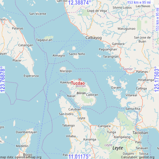
Tucdao GPS coordinates[2]
11° 42' 3.96" North, 124° 28' 18.84" East
| Map corner | latitude | longitude |
|---|---|---|
| Upper-left | 12.38874°, | 123.76878° |
| Center: | 11.7011°, | 124.4719° |
| Lower-right: | 11.01175°, | 125.17503° |
| Map W x H: | 153.1×153.1 km | = 95.1×95.1mi |
| max Lat: | 20.78733° ⇑49.7% North |
| Tucdao: | 11.7011° |
| min Lat: | ⇓50.3% South 4.65442° |
| min Long | Tucdao | max Long |
| 117.04868° | 124.4719° | 126.58417° |
| W 78.5%⇐ | ⇒21.5% E |
Elevation
Elevation of Tucdao is 10 m = 33 ft, and this is 77.9 m = 256 ft below average elevation for this country.
| Max E: |
2262 m = 7421 ft | 76.6% |
| Avg. | 87.9 m = 288 ft | |
| Tucdao | 10 m = 33 ft | |
Min E: |
-2 m = -7 ft | 23.4% |
See also: Philippines elevation on elevation.city.
Geographical zone
Tucdao is located in North Torrid zone (between Equator and Tropic of Cancer). Distance of Equator is 1301 km =808.4 mi to South.| Distance of | km | miles | from Tucdao |
|---|---|---|---|
| North Pole | 8706 | 5409.7 | to North |
| Arctic Circle | 6100.1 | 3790.4 | to North |
| Tropic Cancer | 1304.9 | 810.8 | to North |
| Equator | 1301 | 808.4 | to South |


Nearby cities:
15 places around Tucdao: (largest is in red/bold)
• Almeria
13.3 km =8.3 mi,  227°
227°
• Balagui
26 km =16.2 mi,  165°
165°
• Biliran
26 km =16.2 mi,  179°
179°
• Bunga
27.5 km =17.1 mi,  151°
151°
• Cabucgayan
27.8 km =17.3 mi,  156°
156°
• Caibiran
18.7 km =11.6 mi,  140°
140°
• Calubian
28.6 km =17.8 mi,  189°
189°
• Caraycaray
17.4 km =10.8 mi,  200°
200°
• Catmon
19 km =11.8 mi, 193°
• Culaba
9.1 km =5.7 mi,  122°
122°
• Kawayan
12.8 km =8 mi,  259°
259°
• Looc
26.3 km =16.3 mi, 160°
• Maripipi
15.9 km =9.9 mi,  303°
303°
• Naval
17.6 km =10.9 mi,  207°
207°
• Santo Niño
25.2 km =15.7 mi,  354°
354°
Sources, notices
• [Note1] Compared only with cities in Philippines existing in our database
• [Src1] Map data: © OpenStreetMap contributors (CC-BY-SA)
• [Src2] Other city data from geonames.org with taken over terms of usage.
• [Src3] Geographical zone / Annual Mean Temperature by Robert A. Rohde @ Wikipedia
