Balagui geodata
Balagui (Eastern Visayas) is a populated place; located in Philippines in Asia/Manila (GMT+8) time zone. With population of 2,502 people, there are 3280 cities with bigger population in this country. Compared to other cities in Philippines, 51.7% of cities are located further ↑North; 79.4% of cities are located further ←West and 98.1% of cities have higher elevation than Balagui. Note1


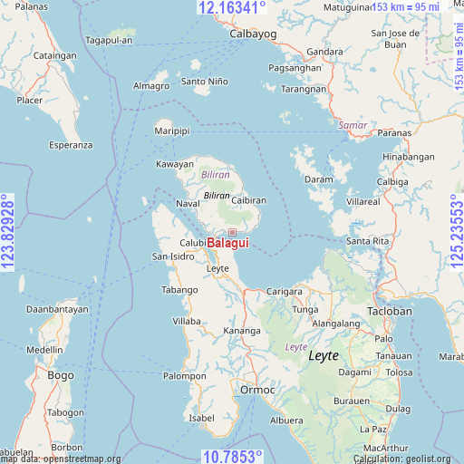
Balagui GPS coordinates[2]
11° 28' 30.72" North, 124° 31' 56.64" East
| Map corner | latitude | longitude |
|---|---|---|
| Upper-left | 12.16341°, | 123.82928° |
| Center: | 11.4752°, | 124.5324° |
| Lower-right: | 10.7853°, | 125.23553° |
| Map W x H: | 153.2×153.2 km | = 95.2×95.2mi |
| max Lat: | 20.78733° ⇑51.7% North |
| Balagui: | 11.4752° |
| min Lat: | ⇓48.3% South 4.65442° |
| min Long | Balagui | max Long |
| 117.04868° | 124.5324° | 126.58417° |
| W 79.4%⇐ | ⇒20.6% E |
Elevation
Elevation of Balagui is 3 m = 10 ft, and this is 84.9 m = 279 ft below average elevation for this country.
| Max E: |
2262 m = 7421 ft | 98.1% |
| Avg. | 87.9 m = 288 ft | |
| Balagui | 3 m = 10 ft | |
Min E: |
-2 m = -7 ft | 1.9% |
See also: Philippines elevation on elevation.city.
Geographical zone
Balagui is located in North Torrid zone (between Equator and Tropic of Cancer). Distance of Equator is 1275.9 km =792.8 mi to South.| Distance of | km | miles | from Balagui |
|---|---|---|---|
| North Pole | 8731.1 | 5425.3 | to North |
| Arctic Circle | 6125.3 | 3806.1 | to North |
| Tropic Cancer | 1330 | 826.4 | to North |
| Equator | 1275.9 | 792.8 | to South |


Nearby cities:
15 places around Balagui: (largest is in red/bold)
• Biliran
6.4 km =4 mi,  261°
261°
• Bunga
6.5 km =4 mi,  81°
81°
• Butazon
20.2 km =12.6 mi,  202°
202°
• Cabucgayan
4.7 km =2.9 mi,  94°
94°
• Caibiran
12 km =7.5 mi,  26°
26°
• Calubian
11.8 km =7.3 mi,  254°
254°
• Caraycaray
15.6 km =9.7 mi,  304°
304°
• Catmon
12.9 km =8 mi, 301°
• Consuegra
19.9 km =12.4 mi,  186°
186°
• Culaba
20.3 km =12.6 mi,  3°
3°
• Leyte
13.2 km =8.2 mi, 204°
• Looc
2.4 km =1.5 mi, 80°
• Naval
17.5 km =10.9 mi, 302°
• Palaroo
9.4 km =5.8 mi,  214°
214°
• Pinamopoan
18.4 km =11.4 mi,  165°
165°
Sources, notices
• [Note1] Compared only with cities in Philippines existing in our database
• [Src1] Map data: © OpenStreetMap contributors (CC-BY-SA)
• [Src2] Other city data from geonames.org with taken over terms of usage.
• [Src3] Geographical zone / Annual Mean Temperature by Robert A. Rohde @ Wikipedia
