Tagakpan geodata
Tagakpan (Davao) is a populated place; located in Philippines in Asia/Manila (GMT+8) time zone. With population of 4,019 people, there are 1713 cities with bigger population in this country. Compared to other cities in Philippines, 90.6% of cities are located further ↑North; 92.5% of cities are located further ←West and 95% of cities have lower elevation than Tagakpan. Note1


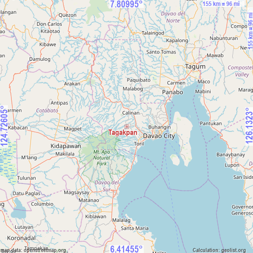
Tagakpan GPS coordinates[2]
7° 6' 46.008" North, 125° 25' 45.012" East
| Map corner | latitude | longitude |
|---|---|---|
| Upper-left | 7.80995°, | 124.72605° |
| Center: | 7.11278°, | 125.42917° |
| Lower-right: | 6.41455°, | 126.1323° |
| Map W x H: | 155.2×155.2 km | = 96.4×96.4mi |
| max Lat: | 20.78733° ⇑90.6% North |
| Tagakpan: | 7.11278° |
| min Lat: | ⇓9.4% South 4.65442° |
| min Long | Tagakpan | max Long |
| 117.04868° | 125.42917° | 126.58417° |
| W 92.5%⇐ | ⇒7.5% E |
Elevation
Elevation of Tagakpan is 415 m = 1362 ft, and this is 327.1 m = 1073 ft above average elevation for this country.
| Max E: |
2262 m = 7421 ft | 5% |
| Tagakpan | 415 m 1362 ft | |
| Avg. | 87.9 m = 288 ft | |
Min E: |
-2 m = -7 ft | 95% |
See also: Philippines elevation on elevation.city.
Geographical zone
Tagakpan is located in North Torrid zone (between Equator and Tropic of Cancer). Distance of Equator is 790.9 km =491.4 mi to South.| Distance of | km | miles | from Tagakpan |
|---|---|---|---|
| North Pole | 9216.2 | 5726.7 | to North |
| Arctic Circle | 6610.3 | 4107.4 | to North |
| Tropic Cancer | 1815.1 | 1127.9 | to North |
| Equator | 790.9 | 491.4 | to South |


Nearby cities:
15 places around Tagakpan: (largest is in red/bold)
• Baracatan
16.2 km =10.1 mi,  185°
185°
• Bato
9.1 km =5.7 mi,  148°
148°
• Biao
11.6 km =7.2 mi,  61°
61°
• Dacudao
12.3 km =7.6 mi,  22°
22°
• Gumalang
11 km =6.8 mi,  345°
345°
• Lacson
11.1 km =6.9 mi,  7°
7°
• Malagos
8.1 km =5 mi, 354°
• Sirib
3.3 km =2.1 mi,  313°
313°
• Tamayong
5.9 km =3.7 mi,  292°
292°
• Tamugan
14.4 km =8.9 mi,  336°
336°
• Tawan tawan
8.8 km =5.5 mi,  315°
315°
• Tuli
13.5 km =8.4 mi, 354°
• Ula
7.3 km =4.5 mi,  72°
72°
• Wañgan
5.5 km =3.4 mi, 18°
• Wines
10 km =6.2 mi,  333°
333°
Sources, notices
• [Note1] Compared only with cities in Philippines existing in our database
• [Src1] Map data: © OpenStreetMap contributors (CC-BY-SA)
• [Src2] Other city data from geonames.org with taken over terms of usage.
• [Src3] Geographical zone / Annual Mean Temperature by Robert A. Rohde @ Wikipedia
