Sikatuna geodata
Sikatuna (Central Visayas) is a seat of a third-order administrative division; located in Philippines in Asia/Manila (GMT+8) time zone. In our database, there are 4166 cities with bigger population. Compared to other cities in Philippines, 71.7% of cities are located further ↑North; 70.5% of cities are located further ←West and 82.5% of cities have lower elevation than Sikatuna. Note1


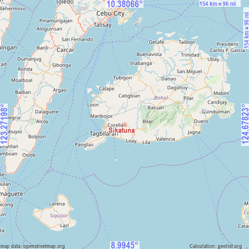
Sikatuna GPS coordinates[2]
9° 41' 17.88" North, 123° 58' 30.36" East
| Map corner | latitude | longitude |
|---|---|---|
| Upper-left | 10.38066°, | 123.27198° |
| Center: | 9.6883°, | 123.9751° |
| Lower-right: | 8.9945°, | 124.67823° |
| Map W x H: | 154.1×154.1 km | = 95.8×95.8mi |
| max Lat: | 20.78733° ⇑71.7% North |
| Sikatuna: | 9.6883° |
| min Lat: | ⇓28.3% South 4.65442° |
| min Long | Sikatuna | max Long |
| 117.04868° | 123.9751° | 126.58417° |
| W 70.5%⇐ | ⇒29.5% E |
Elevation
Elevation of Sikatuna is 111 m = 364 ft, and this is 23.1 m = 76 ft above average elevation for this country.
| Max E: |
2262 m = 7421 ft | 17.5% |
| Sikatuna | 111 m 364 ft | |
| Avg. | 87.9 m = 288 ft | |
Min E: |
-2 m = -7 ft | 82.5% |
See also: Philippines elevation on elevation.city.
Geographical zone
Sikatuna is located in North Torrid zone (between Equator and Tropic of Cancer). Distance of Equator is 1077.2 km =669.3 mi to South.| Distance of | km | miles | from Sikatuna |
|---|---|---|---|
| North Pole | 8929.8 | 5548.7 | to North |
| Arctic Circle | 6323.9 | 3929.5 | to North |
| Tropic Cancer | 1528.7 | 949.9 | to North |
| Equator | 1077.2 | 669.3 | to South |


Nearby cities:
15 places around Sikatuna: (largest is in red/bold)
• Alburquerque
9.1 km =5.7 mi,  191°
191°
• Antequera
13.3 km =8.3 mi,  320°
320°
• Baclayon
11.2 km =7 mi,  232°
232°
• Balilihan
7.5 km =4.7 mi,  358°
358°
• Bilar
14.6 km =9.1 mi,  81°
81°
• Corella
5.8 km =3.6 mi,  269°
269°
• Cortes
11.1 km =6.9 mi,  289°
289°
• Dauis
13.9 km =8.6 mi,  239°
239°
• De la Paz
12.2 km =7.6 mi,  276°
276°
• Loay
10.7 km =6.6 mi,  156°
156°
• Loboc
8.6 km =5.3 mi,  130°
130°
• Maribojoc
15.5 km =9.6 mi, 292°
• Sevilla
8.2 km =5.1 mi, 77°
• Tagbilaran City
14 km =8.7 mi,  254°
254°
• Totolan
15.3 km =9.5 mi, 246°
Sources, notices
• [Note1] Compared only with cities in Philippines existing in our database
• [Src1] Map data: © OpenStreetMap contributors (CC-BY-SA)
• [Src2] Other city data from geonames.org with taken over terms of usage.
• [Src3] Geographical zone / Annual Mean Temperature by Robert A. Rohde @ Wikipedia
