Santa Lucia geodata
Santa Lucia (Central Luzon) is a populated place; located in Philippines in Asia/Manila (GMT+8) time zone. With population of 2,748 people, there are 2870 cities with bigger population in this country. Compared to other cities in Philippines, 79.2% of cities are located further ↓South; 76.2% of cities are located further →East and 58.1% of cities have lower elevation than Santa Lucia. Note1


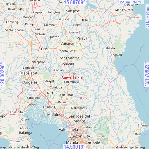
Santa Lucia GPS coordinates[2]
15° 12' 34.92" North, 121° 0' 21.96" East
| Map corner | latitude | longitude |
|---|---|---|
| Upper-left | 15.88709°, | 120.30298° |
| Center: | 15.2097°, | 121.0061° |
| Lower-right: | 14.53013°, | 121.70923° |
| Map W x H: | 150.9×150.9 km | = 93.8×93.8mi |
| max Lat: | 20.78733° ⇑20.8% North |
| Santa Lucia: | 15.2097° |
| min Lat: | ⇓79.2% South 4.65442° |
| min Long | Santa Lucia | max Long |
| 117.04868° | 121.0061° | 126.58417° |
| W 23.8%⇐ | ⇒76.2% E |
Elevation
Elevation of Santa Lucia is 31 m = 102 ft, and this is 56.9 m = 187 ft below average elevation for this country.
| Max E: |
2262 m = 7421 ft | 41.9% |
| Avg. | 87.9 m = 288 ft | |
| Santa Lucia | 31 m = 102 ft | |
Min E: |
-2 m = -7 ft | 58.1% |
See also: Philippines elevation on elevation.city.
Geographical zone
Santa Lucia is located in North Torrid zone (between Equator and Tropic of Cancer). Distance of this Northern Tropic circle is 914.8 km =568.4 mi to North.| Distance of | km | miles | from Santa Lucia |
|---|---|---|---|
| North Pole | 8315.9 | 5167.3 | to North |
| Arctic Circle | 5710 | 3548 | to North |
| Tropic Cancer | 914.8 | 568.4 | to North |
| Equator | 1691.2 | 1050.9 | to South |


Nearby cities:
15 places around Santa Lucia: (largest is in red/bold)
• Batasan Bata
10.1 km =6.3 mi,  224°
224°
• Bulualto
5.8 km =3.6 mi,  282°
282°
• Calumpang
4.5 km =2.8 mi,  153°
153°
• Camias
5.9 km =3.7 mi, 215°
• Gapan
12.6 km =7.8 mi,  329°
329°
• Mandili
14.2 km =8.8 mi,  256°
256°
• Mangga
11.4 km =7.1 mi,  293°
293°
• Masalipit
7.6 km =4.7 mi, 153°
• Pinambaran
3.1 km =1.9 mi,  254°
254°
• Pulo
9.3 km =5.8 mi,  295°
295°
• Salapungan
11.9 km =7.4 mi, 224°
• San Miguel
8.2 km =5.1 mi,  203°
203°
• Sibul
7.5 km =4.7 mi,  127°
127°
• Tabon
12.1 km =7.5 mi, 304°
• Tartaro
4.9 km =3 mi,  166°
166°
Sources, notices
• [Note1] Compared only with cities in Philippines existing in our database
• [Src1] Map data: © OpenStreetMap contributors (CC-BY-SA)
• [Src2] Other city data from geonames.org with taken over terms of usage.
• [Src3] Geographical zone / Annual Mean Temperature by Robert A. Rohde @ Wikipedia
