Morobuan geodata
Morobuan (Western Visayas) is a populated place; located in Philippines in Asia/Manila (GMT+8) time zone. With population of 2,442 people, there are 3396 cities with bigger population in this country. Compared to other cities in Philippines, 61.8% of cities are located further ↑North; 53.6% of cities are located further →East and 53.5% of cities have lower elevation than Morobuan. Note1


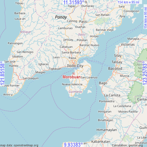
Morobuan GPS coordinates[2]
10° 37' 32.376" North, 122° 33' 16.92" East
| Map corner | latitude | longitude |
|---|---|---|
| Upper-left | 11.31593°, | 121.85158° |
| Center: | 10.62566°, | 122.5547° |
| Lower-right: | 9.93383°, | 123.25783° |
| Map W x H: | 153.7×153.7 km | = 95.5×95.5mi |
| max Lat: | 20.78733° ⇑61.8% North |
| Morobuan: | 10.62566° |
| min Lat: | ⇓38.2% South 4.65442° |
| min Long | Morobuan | max Long |
| 117.04868° | 122.5547° | 126.58417° |
| W 46.4%⇐ | ⇒53.6% E |
Elevation
Elevation of Morobuan is 26 m = 85 ft, and this is 61.9 m = 203 ft below average elevation for this country.
| Max E: |
2262 m = 7421 ft | 46.5% |
| Avg. | 87.9 m = 288 ft | |
| Morobuan | 26 m = 85 ft | |
Min E: |
-2 m = -7 ft | 53.5% |
See also: Philippines elevation on elevation.city.
Geographical zone
Morobuan is located in North Torrid zone (between Equator and Tropic of Cancer). Distance of Equator is 1181.5 km =734.1 mi to South.| Distance of | km | miles | from Morobuan |
|---|---|---|---|
| North Pole | 8825.6 | 5484 | to North |
| Arctic Circle | 6219.7 | 3864.7 | to North |
| Tropic Cancer | 1424.5 | 885.1 | to North |
| Equator | 1181.5 | 734.1 | to South |


Nearby cities:
15 places around Morobuan: (largest is in red/bold)
• Buenavista
11.6 km =7.2 mi,  43°
43°
• Cagbang
10.3 km =6.4 mi,  323°
323°
• Concordia
13.1 km =8.1 mi,  182°
182°
• Constancia
10 km =6.2 mi,  109°
109°
• Iloilo
8 km =5 mi,  7°
7°
• Jordan
5.8 km =3.6 mi,  51°
51°
• Nueva Valencia
13 km =8.1 mi,  191°
191°
• Oton
11.6 km =7.2 mi,  310°
310°
• Pakiad
10.2 km =6.3 mi,  340°
340°
• Piña
9.3 km =5.8 mi,  80°
80°
• Rizal
10.7 km =6.6 mi, 53°
• Salvacion
9.3 km =5.8 mi, 46°
• San Miguel
5.1 km =3.2 mi,  130°
130°
• San Nicolas
9.2 km =5.7 mi, 315°
• Santa Teresa
4.5 km =2.8 mi,  172°
172°
Sources, notices
• [Note1] Compared only with cities in Philippines existing in our database
• [Src1] Map data: © OpenStreetMap contributors (CC-BY-SA)
• [Src2] Other city data from geonames.org with taken over terms of usage.
• [Src3] Geographical zone / Annual Mean Temperature by Robert A. Rohde @ Wikipedia
