Malatap geodata
Malatap (Bicol) is a populated place; located in Philippines in Asia/Manila (GMT+8) time zone. With population of 2,157 people, there are 3974 cities with bigger population in this country. Compared to other cities in Philippines, 71.6% of cities are located further ↓South; 54.6% of cities are located further →East and 78.7% of cities have lower elevation than Malatap. Note1


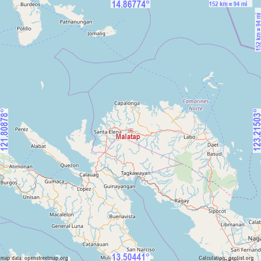
Malatap GPS coordinates[2]
14° 11' 13.56" North, 122° 30' 42.84" East
| Map corner | latitude | longitude |
|---|---|---|
| Upper-left | 14.86774°, | 121.80878° |
| Center: | 14.1871°, | 122.5119° |
| Lower-right: | 13.50441°, | 123.21503° |
| Map W x H: | 151.6×151.6 km | = 94.2×94.2mi |
| max Lat: | 20.78733° ⇑28.4% North |
| Malatap: | 14.1871° |
| min Lat: | ⇓71.6% South 4.65442° |
| min Long | Malatap | max Long |
| 117.04868° | 122.5119° | 126.58417° |
| W 45.4%⇐ | ⇒54.6% E |
Elevation
Elevation of Malatap is 84 m = 276 ft, and this is 3.9 m = 13 ft below average elevation for this country.
| Max E: |
2262 m = 7421 ft | 21.3% |
| Avg. | 87.9 m = 288 ft | |
| Malatap | 84 m = 276 ft | |
Min E: |
-2 m = -7 ft | 78.7% |
See also: Philippines elevation on elevation.city.
Geographical zone
Malatap is located in North Torrid zone (between Equator and Tropic of Cancer). Distance of this Northern Tropic circle is 1028.5 km =639.1 mi to North.| Distance of | km | miles | from Malatap |
|---|---|---|---|
| North Pole | 8429.6 | 5237.9 | to North |
| Arctic Circle | 5823.7 | 3618.7 | to North |
| Tropic Cancer | 1028.5 | 639.1 | to North |
| Equator | 1577.5 | 980.2 | to South |


Nearby cities:
15 places around Malatap: (largest is in red/bold)
• Alayao
11.4 km =7.1 mi,  22°
22°
• Banocboc
14.7 km =9.1 mi,  31°
31°
• Basiad
19.1 km =11.9 mi,  259°
259°
• Batobalane
26.2 km =16.3 mi,  78°
78°
• Calabaca
15.1 km =9.4 mi,  326°
326°
• Capalonga
16.1 km =10 mi,  352°
352°
• Daguit
23.1 km =14.4 mi,  89°
89°
• Jose Pañganiban
22.5 km =14 mi,  59°
59°
• Larap
19.4 km =12.1 mi,  50°
50°
• Mapulot
17.4 km =10.8 mi,  170°
170°
• Palali
13.5 km =8.4 mi, 347°
• Santa Elena
14.1 km =8.8 mi, 262°
• Santa Rosa Sur
24.1 km =15 mi,  70°
70°
• Tagkawayan Sabang
21.9 km =13.6 mi, 174°
• Tigbinan
4.6 km =2.9 mi,  269°
269°
Sources, notices
• [Note1] Compared only with cities in Philippines existing in our database
• [Src1] Map data: © OpenStreetMap contributors (CC-BY-SA)
• [Src2] Other city data from geonames.org with taken over terms of usage.
• [Src3] Geographical zone / Annual Mean Temperature by Robert A. Rohde @ Wikipedia
