Batobalane geodata
Batobalane (Bicol) is a populated place; located in Philippines in Asia/Manila (GMT+8) time zone. With population of 5,025 people, there are 1288 cities with bigger population in this country. Compared to other cities in Philippines, 72.3% of cities are located further ↓South; 50.8% of cities are located further →East and 80.7% of cities have higher elevation than Batobalane. Note1


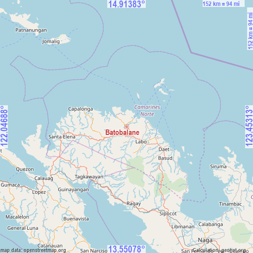
Batobalane GPS coordinates[2]
14° 13' 59.988" North, 122° 45' 0" East
| Map corner | latitude | longitude |
|---|---|---|
| Upper-left | 14.91383°, | 122.04688° |
| Center: | 14.23333°, | 122.75° |
| Lower-right: | 13.55078°, | 123.45313° |
| Map W x H: | 151.6×151.6 km | = 94.2×94.2mi |
| max Lat: | 20.78733° ⇑27.7% North |
| Batobalane: | 14.23333° |
| min Lat: | ⇓72.3% South 4.65442° |
| min Long | Batobalane | max Long |
| 117.04868° | 122.75° | 126.58417° |
| W 49.2%⇐ | ⇒50.8% E |
Elevation
Elevation of Batobalane is 9 m = 30 ft, and this is 78.9 m = 259 ft below average elevation for this country.
| Max E: |
2262 m = 7421 ft | 80.7% |
| Avg. | 87.9 m = 288 ft | |
| Batobalane | 9 m = 30 ft | |
Min E: |
-2 m = -7 ft | 19.3% |
See also: Philippines elevation on elevation.city.
Geographical zone
Batobalane is located in North Torrid zone (between Equator and Tropic of Cancer). Distance of this Northern Tropic circle is 1023.3 km =635.8 mi to North.| Distance of | km | miles | from Batobalane |
|---|---|---|---|
| North Pole | 8424.5 | 5234.7 | to North |
| Arctic Circle | 5818.6 | 3615.5 | to North |
| Tropic Cancer | 1023.3 | 635.8 | to North |
| Equator | 1582.6 | 983.4 | to South |


Nearby cities:
15 places around Batobalane: (largest is in red/bold)
• Daguit
5.5 km =3.4 mi,  207°
207°
• Guinacotan
15.3 km =9.5 mi,  123°
123°
• Gumaus
9 km =5.6 mi,  341°
341°
• Jose Pañganiban
8.9 km =5.5 mi,  315°
315°
• Labo
12.4 km =7.7 mi,  135°
135°
• Larap
13 km =8.1 mi,  304°
304°
• Lugui
14.2 km =8.8 mi,  160°
160°
• Luklukan
11 km =6.8 mi, 338°
• Malasugui
14.4 km =8.9 mi,  133°
133°
• Paracale
6.7 km =4.2 mi,  38°
38°
• Sabang Indan
17.9 km =11.1 mi,  94°
94°
• Santa Rosa Sur
4.1 km =2.5 mi,  314°
314°
• Talubatib
6.8 km =4.2 mi,  146°
146°
• Tugos
3.7 km =2.3 mi,  0°
0°
• Tulay na Lupa
16 km =9.9 mi,  165°
165°
Sources, notices
• [Note1] Compared only with cities in Philippines existing in our database
• [Src1] Map data: © OpenStreetMap contributors (CC-BY-SA)
• [Src2] Other city data from geonames.org with taken over terms of usage.
• [Src3] Geographical zone / Annual Mean Temperature by Robert A. Rohde @ Wikipedia
