Magsaysay geodata
Magsaysay (Davao) is a seat of a third-order administrative division; located in Philippines in Asia/Manila (GMT+8) time zone. With population of 16,592 people, there are 413 cities with bigger population in this country. Compared to other cities in Philippines, 93.4% of cities are located further ↑North; 90.1% of cities are located further ←West and 81.4% of cities have lower elevation than Magsaysay. Note1


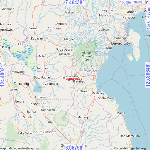
Magsaysay GPS coordinates[2]
6° 46' 0.012" North, 125° 10' 59.988" East
| Map corner | latitude | longitude |
|---|---|---|
| Upper-left | 7.46438°, | 124.48021° |
| Center: | 6.76667°, | 125.18333° |
| Lower-right: | 6.06796°, | 125.88646° |
| Map W x H: | 155.3×155.3 km | = 96.5×96.5mi |
| max Lat: | 20.78733° ⇑93.4% North |
| Magsaysay: | 6.76667° |
| min Lat: | ⇓6.6% South 4.65442° |
| min Long | Magsaysay | max Long |
| 117.04868° | 125.18333° | 126.58417° |
| W 90.1%⇐ | ⇒9.9% E |
Elevation
Elevation of Magsaysay is 102 m = 335 ft, and this is 14.1 m = 46 ft above average elevation for this country.
| Max E: |
2262 m = 7421 ft | 18.6% |
| Magsaysay | 102 m 335 ft | |
| Avg. | 87.9 m = 288 ft | |
Min E: |
-2 m = -7 ft | 81.4% |
See also: Philippines elevation on elevation.city.
Geographical zone
Magsaysay is located in North Torrid zone (between Equator and Tropic of Cancer). Distance of Equator is 752.4 km =467.5 mi to South.| Distance of | km | miles | from Magsaysay |
|---|---|---|---|
| North Pole | 9254.7 | 5750.6 | to North |
| Arctic Circle | 6648.8 | 4131.4 | to North |
| Tropic Cancer | 1853.5 | 1151.7 | to North |
| Equator | 752.4 | 467.5 | to South |


Nearby cities:
15 places around Magsaysay: (largest is in red/bold)
• Bansalan
4 km =2.5 mi,  56°
56°
• Bulatukan
15.3 km =9.5 mi,  350°
350°
• Digos
19.3 km =12 mi,  95°
95°
• Dolo
4.9 km =3 mi,  10°
10°
• Goma
15.4 km =9.6 mi,  79°
79°
• Hagonoy
18.2 km =11.3 mi,  120°
120°
• Ignit
14.1 km =8.8 mi, 121°
• Kiblawan
18 km =11.2 mi,  160°
160°
• Kisante
17.7 km =11 mi, 349°
• Malinao
16.5 km =10.3 mi,  136°
136°
• Managa
9.6 km =6 mi, 103°
• Matanao
12.5 km =7.8 mi, 140°
• Matti
13.8 km =8.6 mi,  88°
88°
• Sinawilan
7.1 km =4.4 mi, 101°
• Sinayawan
15.2 km =9.4 mi,  113°
113°
Sources, notices
• [Note1] Compared only with cities in Philippines existing in our database
• [Src1] Map data: © OpenStreetMap contributors (CC-BY-SA)
• [Src2] Other city data from geonames.org with taken over terms of usage.
• [Src3] Geographical zone / Annual Mean Temperature by Robert A. Rohde @ Wikipedia
