Dayap geodata
Dayap (Calabarzon) is a section of populated place; located in Philippines in Asia/Manila (GMT+8) time zone. With population of 5,092 people, there are 1261 cities with bigger population in this country. Compared to other cities in Philippines, 71.4% of cities are located further ↓South; 69.6% of cities are located further →East and 67.4% of cities have higher elevation than Dayap. Note1


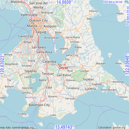
Dayap GPS coordinates[2]
14° 10' 48.504" North, 121° 20' 0.06" East
| Map corner | latitude | longitude |
|---|---|---|
| Upper-left | 14.8608°, | 120.63023° |
| Center: | 14.18014°, | 121.33335° |
| Lower-right: | 13.49743°, | 122.03648° |
| Map W x H: | 151.6×151.6 km | = 94.2×94.2mi |
| max Lat: | 20.78733° ⇑28.6% North |
| Dayap: | 14.18014° |
| min Lat: | ⇓71.4% South 4.65442° |
| min Long | Dayap | max Long |
| 117.04868° | 121.33335° | 126.58417° |
| W 30.4%⇐ | ⇒69.6% E |
Elevation
Elevation of Dayap is 13 m = 43 ft, and this is 74.9 m = 246 ft below average elevation for this country.
| Max E: |
2262 m = 7421 ft | 67.4% |
| Avg. | 87.9 m = 288 ft | |
| Dayap | 13 m = 43 ft | |
Min E: |
-2 m = -7 ft | 32.6% |
See also: Philippines elevation on elevation.city.
Geographical zone
Dayap is located in North Torrid zone (between Equator and Tropic of Cancer). Distance of this Northern Tropic circle is 1029.2 km =639.5 mi to North.| Distance of | km | miles | from Dayap |
|---|---|---|---|
| North Pole | 8430.4 | 5238.4 | to North |
| Arctic Circle | 5824.5 | 3619.2 | to North |
| Tropic Cancer | 1029.2 | 639.5 | to North |
| Equator | 1576.7 | 979.7 | to South |


Nearby cities:
15 places around Dayap: (largest is in red/bold)
• Bay
5.2 km =3.2 mi,  274°
274°
• Calauan
3.9 km =2.4 mi,  210°
210°
• Calumpang
7.6 km =4.7 mi,  76°
76°
• Halayhayin
8.1 km =5 mi, 82°
• Hanggan
3.7 km =2.3 mi,  284°
284°
• Los Baños
9.9 km =6.2 mi,  263°
263°
• Masapang
2.1 km =1.3 mi,  27°
27°
• Masaya
6.4 km =4 mi,  240°
240°
• Pila
6.7 km =4.2 mi, 30°
• San Isidro
7.7 km =4.8 mi,  65°
65°
• San Miguel
4.9 km =3 mi,  61°
61°
• Santa Catalina
6.6 km =4.1 mi,  171°
171°
• Santa Cruz
8.9 km =5.5 mi,  217°
217°
• Taytay
9.7 km =6 mi,  128°
128°
• Victoria
5.3 km =3.3 mi,  355°
355°
Sources, notices
• [Note1] Compared only with cities in Philippines existing in our database
• [Src1] Map data: © OpenStreetMap contributors (CC-BY-SA)
• [Src2] Other city data from geonames.org with taken over terms of usage.
• [Src3] Geographical zone / Annual Mean Temperature by Robert A. Rohde @ Wikipedia
