Busing geodata
Busing (Bicol) is a populated place; located in Philippines in Asia/Manila (GMT+8) time zone. With population of 2,062 people, there are 4125 cities with bigger population in this country. Compared to other cities in Philippines, 58.5% of cities are located further ↓South; 52.7% of cities are located further ←West and 60.8% of cities have higher elevation than Busing. Note1


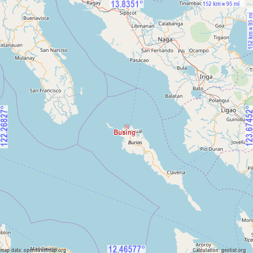
Busing GPS coordinates[2]
13° 9' 5.004" North, 122° 58' 17.004" East
| Map corner | latitude | longitude |
|---|---|---|
| Upper-left | 13.8351°, | 122.26827° |
| Center: | 13.15139°, | 122.97139° |
| Lower-right: | 12.46577°, | 123.67452° |
| Map W x H: | 152.3×152.3 km | = 94.6×94.6mi |
| max Lat: | 20.78733° ⇑41.5% North |
| Busing: | 13.15139° |
| min Lat: | ⇓58.5% South 4.65442° |
| min Long | Busing | max Long |
| 117.04868° | 122.97139° | 126.58417° |
| W 52.7%⇐ | ⇒47.3% E |
Elevation
Elevation of Busing is 16 m = 52 ft, and this is 71.9 m = 236 ft below average elevation for this country.
| Max E: |
2262 m = 7421 ft | 60.8% |
| Avg. | 87.9 m = 288 ft | |
| Busing | 16 m = 52 ft | |
Min E: |
-2 m = -7 ft | 39.2% |
See also: Philippines elevation on elevation.city.
Geographical zone
Busing is located in North Torrid zone (between Equator and Tropic of Cancer). Distance of this Northern Tropic circle is 1143.6 km =710.6 mi to North.| Distance of | km | miles | from Busing |
|---|---|---|---|
| North Pole | 8544.8 | 5309.5 | to North |
| Arctic Circle | 5938.9 | 3690.3 | to North |
| Tropic Cancer | 1143.6 | 710.6 | to North |
| Equator | 1462.3 | 908.6 | to South |


Nearby cities:
15 places around Busing: (largest is in red/bold)
• Apud
34.7 km =21.6 mi,  92°
92°
• Badian
38.8 km =24.1 mi,  110°
110°
• Balatan
34.1 km =21.2 mi,  56°
56°
• Balogo
40.2 km =25 mi,  14°
14°
• Cagmanaba
36.9 km =22.9 mi, 106°
• Camp Flora
40 km =24.9 mi,  303°
303°
• Macabugos
37.4 km =23.2 mi,  75°
75°
• Mangero
34.5 km =21.4 mi,  292°
292°
• Pantao
38.8 km =24.1 mi, 82°
• Salingogan
39.4 km =24.5 mi,  37°
37°
• San Andres
37 km =23 mi, 300°
• San Pascual
2.6 km =1.6 mi,  166°
166°
• San Rafael
6.5 km =4 mi,  190°
190°
• Talisay
37.8 km =23.5 mi,  274°
274°
• Tambo
36.4 km =22.6 mi,  71°
71°
Sources, notices
• [Note1] Compared only with cities in Philippines existing in our database
• [Src1] Map data: © OpenStreetMap contributors (CC-BY-SA)
• [Src2] Other city data from geonames.org with taken over terms of usage.
• [Src3] Geographical zone / Annual Mean Temperature by Robert A. Rohde @ Wikipedia
