Bolo geodata
Bolo (Calabarzon) is a populated place; located in Philippines in Asia/Manila (GMT+8) time zone. With population of 8,310 people, there are 742 cities with bigger population in this country. Compared to other cities in Philippines, 65.4% of cities are located further ↓South; 76.7% of cities are located further →East and 53.1% of cities have higher elevation than Bolo. Note1


Bolo GPS coordinates[2]
13° 47' 23.676" North, 120° 58' 54.228" East
| Map corner | latitude | longitude |
|---|---|---|
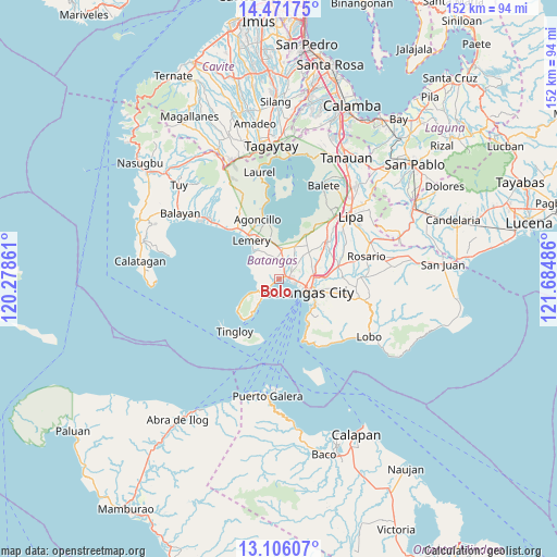
| Upper-left | 14.47175°, | 120.27861° |
| Center: | 13.78991°, | 120.98173° |
| Lower-right: | 13.10607°, | 121.68486° |
| Map W x H: | 151.8×151.9 km | = 94.3×94.4mi |
| max Lat: | 20.78733° ⇑34.6% North |
| Bolo: | 13.78991° |
| min Lat: | ⇓65.4% South 4.65442° |
| min Long | Bolo | max Long |
| 117.04868° | 120.98173° | 126.58417° |
| W 23.3%⇐ | ⇒76.7% E |
Elevation
Elevation of Bolo is 21 m = 69 ft, and this is 66.9 m = 219 ft below average elevation for this country.
| Max E: |
2262 m = 7421 ft | 53.1% |
| Avg. | 87.9 m = 288 ft | |
| Bolo | 21 m = 69 ft | |
Min E: |
-2 m = -7 ft | 46.9% |
See also: Philippines elevation on elevation.city.
Geographical zone
Bolo is located in North Torrid zone (between Equator and Tropic of Cancer). Distance of this Northern Tropic circle is 1072.6 km =666.5 mi to North.| Distance of | km | miles | from Bolo |
|---|---|---|---|
| North Pole | 8473.8 | 5265.4 | to North |
| Arctic Circle | 5867.9 | 3646.1 | to North |
| Tropic Cancer | 1072.6 | 666.5 | to North |
| Equator | 1533.3 | 952.7 | to South |


Nearby cities:
15 places around Bolo: (largest is in red/bold)
• Alitagtag
8.6 km =5.3 mi,  16°
16°
• Batangas
9.1 km =5.7 mi,  114°
114°
• Bauan
2.9 km =1.8 mi,  86°
86°
• Calumpang
5.9 km =3.7 mi,  353°
353°
• Inicbulan
3.4 km =2.1 mi,  3°
3°
• Mabini
6 km =3.7 mi,  227°
227°
• Mozon
7 km =4.3 mi,  6°
6°
• Mulauin
9.3 km =5.8 mi, 23°
• San Jose
7.7 km =4.8 mi,  333°
333°
• San Pascual
4.9 km =3 mi,  62°
62°
• Santa Clara
9.4 km =5.8 mi,  115°
115°
• Santa Rita Aplaya
6.1 km =3.8 mi, 109°
• Santa Teresita
8.5 km =5.3 mi,  359°
359°
• Sinala
1.9 km =1.2 mi,  336°
336°
• Talaga
7.7 km =4.8 mi,  219°
219°
Sources, notices
• [Note1] Compared only with cities in Philippines existing in our database
• [Src1] Map data: © OpenStreetMap contributors (CC-BY-SA)
• [Src2] Other city data from geonames.org with taken over terms of usage.
• [Src3] Geographical zone / Annual Mean Temperature by Robert A. Rohde @ Wikipedia
