Binitayan geodata
Binitayan (Bicol) is a populated place; located in Philippines in Asia/Manila (GMT+8) time zone. With population of 4,802 people, there are 1373 cities with bigger population in this country. Compared to other cities in Philippines, 60% of cities are located further ↓South; 67% of cities are located further ←West and 81.8% of cities have lower elevation than Binitayan. Note1


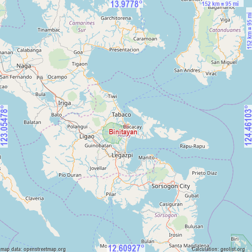
Binitayan GPS coordinates[2]
13° 17' 40.2" North, 123° 45' 28.44" East
| Map corner | latitude | longitude |
|---|---|---|
| Upper-left | 13.9778°, | 123.05478° |
| Center: | 13.2945°, | 123.7579° |
| Lower-right: | 12.60927°, | 124.46103° |
| Map W x H: | 152.2×152.2 km | = 94.6×94.6mi |
| max Lat: | 20.78733° ⇑40% North |
| Binitayan: | 13.2945° |
| min Lat: | ⇓60% South 4.65442° |
| min Long | Binitayan | max Long |
| 117.04868° | 123.7579° | 126.58417° |
| W 67%⇐ | ⇒33% E |
Elevation
Elevation of Binitayan is 105 m = 344 ft, and this is 17.1 m = 56 ft above average elevation for this country.
| Max E: |
2262 m = 7421 ft | 18.2% |
| Binitayan | 105 m 344 ft | |
| Avg. | 87.9 m = 288 ft | |
Min E: |
-2 m = -7 ft | 81.8% |
See also: Philippines elevation on elevation.city.
Geographical zone
Binitayan is located in North Torrid zone (between Equator and Tropic of Cancer). Distance of this Northern Tropic circle is 1127.7 km =700.7 mi to North.| Distance of | km | miles | from Binitayan |
|---|---|---|---|
| North Pole | 8528.9 | 5299.6 | to North |
| Arctic Circle | 5923 | 3680.4 | to North |
| Tropic Cancer | 1127.7 | 700.7 | to North |
| Equator | 1478.2 | 918.5 | to South |


Nearby cities:
15 places around Binitayan: (largest is in red/bold)
• Bacacay
3.7 km =2.3 mi,  91°
91°
• Banag
11.1 km =6.9 mi,  327°
327°
• Bigaa
10.6 km =6.6 mi,  180°
180°
• Bonga
1.6 km =1 mi, 176°
• Estancia
11.1 km =6.9 mi,  310°
310°
• Libog
7 km =4.3 mi,  161°
161°
• Malilipot
3.4 km =2.1 mi,  322°
322°
• Miliroc
8.2 km =5.1 mi, 312°
• Padang
8.4 km =5.2 mi,  174°
174°
• San Andres
4.4 km =2.7 mi,  147°
147°
• San Francisco
2.6 km =1.6 mi,  340°
340°
• San Roque
2.1 km =1.3 mi,  234°
234°
• Santo Domingo
6.9 km =4.3 mi, 162°
• Sugcad
10.2 km =6.3 mi, 322°
• Tabaco
7.6 km =4.7 mi, 339°
Sources, notices
• [Note1] Compared only with cities in Philippines existing in our database
• [Src1] Map data: © OpenStreetMap contributors (CC-BY-SA)
• [Src2] Other city data from geonames.org with taken over terms of usage.
• [Src3] Geographical zone / Annual Mean Temperature by Robert A. Rohde @ Wikipedia
