Baguer geodata
Baguer (Soccsksargen) is a populated place; located in Philippines in Asia/Manila (GMT+8) time zone. With population of 3,228 people, there are 2278 cities with bigger population in this country. Compared to other cities in Philippines, 88.9% of cities are located further ↑North; 78.9% of cities are located further ←West and 53.1% of cities have higher elevation than Baguer. Note1


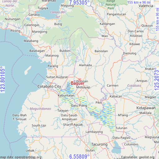
Baguer GPS coordinates[2]
7° 15' 21.996" North, 124° 30' 15.012" East
| Map corner | latitude | longitude |
|---|---|---|
| Upper-left | 7.95305°, | 123.80105° |
| Center: | 7.25611°, | 124.50417° |
| Lower-right: | 6.55809°, | 125.2073° |
| Map W x H: | 155.1×155.1 km | = 96.4×96.4mi |
| max Lat: | 20.78733° ⇑88.9% North |
| Baguer: | 7.25611° |
| min Lat: | ⇓11.1% South 4.65442° |
| min Long | Baguer | max Long |
| 117.04868° | 124.50417° | 126.58417° |
| W 78.9%⇐ | ⇒21.1% E |
Elevation
Elevation of Baguer is 21 m = 69 ft, and this is 66.9 m = 219 ft below average elevation for this country.
| Max E: |
2262 m = 7421 ft | 53.1% |
| Avg. | 87.9 m = 288 ft | |
| Baguer | 21 m = 69 ft | |
Min E: |
-2 m = -7 ft | 46.9% |
See also: Philippines elevation on elevation.city.
Geographical zone
Baguer is located in North Torrid zone (between Equator and Tropic of Cancer). Distance of Equator is 806.8 km =501.3 mi to South.| Distance of | km | miles | from Baguer |
|---|---|---|---|
| North Pole | 9200.3 | 5716.8 | to North |
| Arctic Circle | 6594.4 | 4097.6 | to North |
| Tropic Cancer | 1799.1 | 1117.9 | to North |
| Equator | 806.8 | 501.3 | to South |


Nearby cities:
15 places around Baguer: (largest is in red/bold)
• Alamada
11 km =6.8 mi,  38°
38°
• Balogo
5.3 km =3.3 mi,  303°
303°
• Barongis
6.6 km =4.1 mi,  85°
85°
• Bual
8.2 km =5.1 mi,  178°
178°
• Buayan
2.8 km =1.7 mi,  78°
78°
• Budta
9.2 km =5.7 mi,  230°
230°
• Glad
12.1 km =7.5 mi,  172°
172°
• Libungan
2.4 km =1.5 mi,  134°
134°
• Malingao
11.1 km =6.9 mi,  196°
196°
• Manuangan
11.2 km =7 mi,  281°
281°
• Midsayap
7.8 km =4.8 mi,  158°
158°
• Patindeguen
4.1 km =2.5 mi,  189°
189°
• Pigcawayan
9 km =5.6 mi,  285°
285°
• Salunayan
11.3 km =7 mi, 183°
• Upper San Mateo
12.6 km =7.8 mi,  137°
137°
Sources, notices
• [Note1] Compared only with cities in Philippines existing in our database
• [Src1] Map data: © OpenStreetMap contributors (CC-BY-SA)
• [Src2] Other city data from geonames.org with taken over terms of usage.
• [Src3] Geographical zone / Annual Mean Temperature by Robert A. Rohde @ Wikipedia
