Alamada geodata
Alamada (Soccsksargen) is a populated place; located in Philippines in Asia/Manila (GMT+8) time zone. With population of 4,987 people, there are 1303 cities with bigger population in this country. Compared to other cities in Philippines, 88.2% of cities are located further ↑North; 80% of cities are located further ←West and 78% of cities have lower elevation than Alamada. Note1


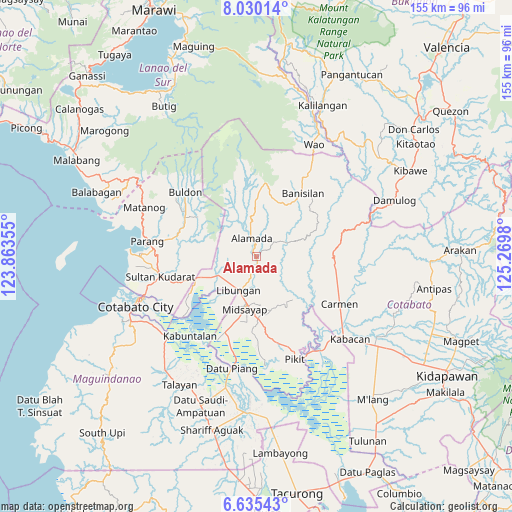
Alamada GPS coordinates[2]
7° 19' 59.988" North, 124° 34' 0.012" East
| Map corner | latitude | longitude |
|---|---|---|
| Upper-left | 8.03014°, | 123.86355° |
| Center: | 7.33333°, | 124.56667° |
| Lower-right: | 6.63543°, | 125.2698° |
| Map W x H: | 155.1×155.1 km | = 96.4×96.4mi |
| max Lat: | 20.78733° ⇑88.2% North |
| Alamada: | 7.33333° |
| min Lat: | ⇓11.8% South 4.65442° |
| min Long | Alamada | max Long |
| 117.04868° | 124.56667° | 126.58417° |
| W 80%⇐ | ⇒20% E |
Elevation
Elevation of Alamada is 80 m = 262 ft, and this is 7.9 m = 26 ft below average elevation for this country.
| Max E: |
2262 m = 7421 ft | 22% |
| Avg. | 87.9 m = 288 ft | |
| Alamada | 80 m = 262 ft | |
Min E: |
-2 m = -7 ft | 78% |
See also: Philippines elevation on elevation.city.
Geographical zone
Alamada is located in North Torrid zone (between Equator and Tropic of Cancer). Distance of Equator is 815.4 km =506.7 mi to South.| Distance of | km | miles | from Alamada |
|---|---|---|---|
| North Pole | 9191.7 | 5711.5 | to North |
| Arctic Circle | 6585.8 | 4092.2 | to North |
| Tropic Cancer | 1790.5 | 1112.6 | to North |
| Equator | 815.4 | 506.7 | to South |


Nearby cities:
15 places around Alamada: (largest is in red/bold)
• Baguer
11 km =6.8 mi,  218°
218°
• Balogo
12.7 km =7.9 mi,  243°
243°
• Barongis
8 km =5 mi,  181°
181°
• Bau
12.2 km =7.6 mi,  48°
48°
• Bual
18.1 km =11.2 mi,  201°
201°
• Buayan
9 km =5.6 mi,  207°
207°
• Libungan
11.5 km =7.1 mi, 206°
• Malitubog
8.1 km =5 mi,  104°
104°
• Manuangan
19 km =11.8 mi,  250°
250°
• Midsayap
16.3 km =10.1 mi,  194°
194°
• Nuyo
19.6 km =12.2 mi,  298°
298°
• Patindeguen
14.7 km =9.1 mi, 210°
• Pigcawayan
16.8 km =10.4 mi, 248°
• Tomado
16.3 km =10.1 mi,  163°
163°
• Upper San Mateo
17.9 km =11.1 mi,  174°
174°
Sources, notices
• [Note1] Compared only with cities in Philippines existing in our database
• [Src1] Map data: © OpenStreetMap contributors (CC-BY-SA)
• [Src2] Other city data from geonames.org with taken over terms of usage.
• [Src3] Geographical zone / Annual Mean Temperature by Robert A. Rohde @ Wikipedia
