Bacoor geodata
Bacoor (Calabarzon) is a seat of a third-order administrative division; located in Philippines in Asia/Manila (GMT+8) time zone. With population of 356,974 people, there are 21 cities with bigger population in this country. Compared to other cities in Philippines, 74% of cities are located further ↓South; 78.2% of cities are located further →East and 99.6% of cities have higher elevation than Bacoor. Note1


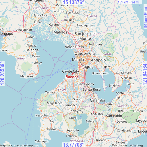
Bacoor GPS coordinates[2]
14° 27' 32.256" North, 120° 56' 18.636" East
| Map corner | latitude | longitude |
|---|---|---|
| Upper-left | 15.13876°, | 120.23539° |
| Center: | 14.45896°, | 120.93851° |
| Lower-right: | 13.77708°, | 121.64164° |
| Map W x H: | 151.4×151.4 km | = 94.1×94.1mi |
| max Lat: | 20.78733° ⇑26% North |
| Bacoor: | 14.45896° |
| min Lat: | ⇓74% South 4.65442° |
| min Long | Bacoor | max Long |
| 117.04868° | 120.93851° | 126.58417° |
| W 21.8%⇐ | ⇒78.2% E |
Elevation
Elevation of Bacoor is 1 m = 3 ft, and this is 86.9 m = 285 ft below average elevation for this country.
| Max E: |
2262 m = 7421 ft | 99.6% |
| Avg. | 87.9 m = 288 ft | |
| Bacoor | 1 m = 3 ft | |
Min E: |
-2 m = -7 ft | 0.4% |
See also: Bacoor elevation on elevation.city.
Geographical zone
Bacoor is located in North Torrid zone (between Equator and Tropic of Cancer). Distance of this Northern Tropic circle is 998.2 km =620.3 mi to North.| Distance of | km | miles | from Bacoor |
|---|---|---|---|
| North Pole | 8399.4 | 5219.1 | to North |
| Arctic Circle | 5793.5 | 3599.9 | to North |
| Tropic Cancer | 998.2 | 620.3 | to North |
| Equator | 1607.7 | 999 | to South |


Nearby cities:
15 places around Bacoor: (largest is in red/bold)
• Cavite City
5.1 km =3.2 mi,  302°
302°
• General Trias
10.1 km =6.3 mi,  217°
217°
• Imus
3.3 km =2.1 mi,  183°
183°
• Kanluran
10.6 km =6.6 mi,  243°
243°
• Kawit
4.3 km =2.7 mi,  247°
247°
• Las Piñas
4.9 km =3 mi,  101°
101°
• Makati City
14.3 km =8.9 mi,  44°
44°
• Muntinlupa
14 km =8.7 mi,  123°
123°
• Noveleta
7.1 km =4.4 mi, 242°
• Pasay
11.1 km =6.9 mi, 37°
• Port Area
14.2 km =8.8 mi,  12°
12°
• Rosario
9.8 km =6.1 mi, 242°
• Sambayanihan People's Village
6.4 km =4 mi,  93°
93°
• Santa Rosa
7.3 km =4.5 mi, 240°
• Tanza
11.2 km =7 mi,  233°
233°
Sources, notices
• [Note1] Compared only with cities in Philippines existing in our database
• [Src1] Map data: © OpenStreetMap contributors (CC-BY-SA)
• [Src2] Other city data from geonames.org with taken over terms of usage.
• [Src3] Geographical zone / Annual Mean Temperature by Robert A. Rohde @ Wikipedia
