Abulug geodata
Abulug (Cagayan Valley) is a seat of a third-order administrative division; located in Philippines in Asia/Manila (GMT+8) time zone. With population of 2,412 people, there are 3440 cities with bigger population in this country. Compared to other cities in Philippines, 99.6% of cities are located further ↓South; 67.5% of cities are located further →East and 89.7% of cities have higher elevation than Abulug. Note1


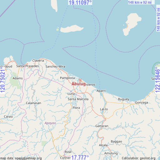
Abulug GPS coordinates[2]
18° 26' 43.008" North, 121° 27' 11.988" East
| Map corner | latitude | longitude |
|---|---|---|
| Upper-left | 19.11097°, | 120.75021° |
| Center: | 18.44528°, | 121.45333° |
| Lower-right: | 17.777°, | 122.15646° |
| Map W x H: | 148.3×148.3 km | = 92.1×92.1mi |
| max Lat: | 20.78733° ⇑0.4% North |
| Abulug: | 18.44528° |
| min Lat: | ⇓99.6% South 4.65442° |
| min Long | Abulug | max Long |
| 117.04868° | 121.45333° | 126.58417° |
| W 32.5%⇐ | ⇒67.5% E |
Elevation
Elevation of Abulug is 7 m = 23 ft, and this is 80.9 m = 265 ft below average elevation for this country.
| Max E: |
2262 m = 7421 ft | 89.7% |
| Avg. | 87.9 m = 288 ft | |
| Abulug | 7 m = 23 ft | |
Min E: |
-2 m = -7 ft | 10.3% |
See also: Philippines elevation on elevation.city.
Geographical zone
Abulug is located in North Torrid zone (between Equator and Tropic of Cancer). Distance of this Northern Tropic circle is 555 km =344.9 mi to North.| Distance of | km | miles | from Abulug |
|---|---|---|---|
| North Pole | 7956.1 | 4943.7 | to North |
| Arctic Circle | 5350.3 | 3324.5 | to North |
| Tropic Cancer | 555 | 344.9 | to North |
| Equator | 2050.9 | 1274.4 | to South |


Nearby cities:
15 places around Abulug: (largest is in red/bold)
• Allacapan
26.7 km =16.6 mi,  156°
156°
• Aparri
22.1 km =13.7 mi,  116°
116°
• Bagu
10.6 km =6.6 mi,  257°
257°
• Ballesteros
7.5 km =4.7 mi, 119°
• Binalan
16.3 km =10.1 mi,  143°
143°
• Cabaritan East
4.8 km =3 mi,  129°
129°
• Calog Norte
11.6 km =7.2 mi,  218°
218°
• Flora
25.7 km =16 mi,  188°
188°
• Guiddam
12.3 km =7.6 mi,  173°
173°
• Lucban
12.3 km =7.6 mi, 191°
• Luna
16.9 km =10.5 mi, 218°
• Mabuttal East
10 km =6.2 mi, 139°
• Pamplona
12.1 km =7.5 mi,  281°
281°
• Santa Cruz
17 km =10.6 mi,  297°
297°
• Santa Marcela
18.1 km =11.2 mi, 186°
Sources, notices
• [Note1] Compared only with cities in Philippines existing in our database
• [Src1] Map data: © OpenStreetMap contributors (CC-BY-SA)
• [Src2] Other city data from geonames.org with taken over terms of usage.
• [Src3] Geographical zone / Annual Mean Temperature by Robert A. Rohde @ Wikipedia
