Śliwice geodata
Śliwice (Kujawsko-Pomorskie) is a seat of a third-order administrative division; located in Poland in Europe/Warsaw (GMT+2) time zone. With population of 4,600 people, there are 723 cities with bigger population in this country. Compared to other cities in Poland, 91.5% of cities are located further ↓South; 73% of cities are located further →East and 74% of cities have higher elevation than Śliwice. Note1


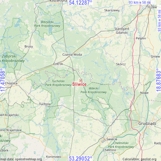
Śliwice GPS coordinates[2]
53° 42' 31.5" North, 18° 10' 25.32" East
| Map corner | latitude | longitude |
|---|---|---|
| Upper-left | 54.12287°, | 17.47058° |
| Center: | 53.70875°, | 18.1737° |
| Lower-right: | 53.29052°, | 18.87683° |
| Map W x H: | 92.5×92.5 km | = 57.5×57.5mi |
| max Lat: | 54.83135° ⇑8.5% North |
| Śliwice: | 53.70875° |
| min Lat: | ⇓91.5% South 49.21328° |
| min Long | Śliwice | max Long |
| 14.20249° | 18.1737° | 24.03723° |
| W 27%⇐ | ⇒73% E |
Elevation
Elevation of Śliwice is 113 m = 371 ft, and this is 78.4 m = 257 ft below average elevation for this country.
| Max E: |
974 m = 3196 ft | 74% |
| Avg. | 191.4 m = 628 ft | |
| Śliwice | 113 m = 371 ft | |
Min E: |
-3 m = -10 ft | 26% |
See also: Poland elevation on elevation.city.
Geographical zone
Śliwice is located in North temperate zone (between Tropic of Cancer and the Arctic Circle). Distance of this North polar circle is 1429.3 km =888.1 mi to North.| Distance of | km | miles | from Śliwice |
|---|---|---|---|
| North Pole | 4035.2 | 2507.4 | to North |
| Arctic Circle | 1429.3 | 888.1 | to North |
| Tropic Cancer | 3365.9 | 2091.5 | to South |
| Equator | 5971.9 | 3710.8 | to South |


Nearby cities:
15 places around Śliwice: (largest is in red/bold)
• Cekcyn
18.5 km =11.5 mi,  215°
215°
• Czarna Woda
15.9 km =9.9 mi,  342°
342°
• Czersk
16.2 km =10.1 mi,  306°
306°
• Drzycim
24.3 km =15.1 mi,  158°
158°
• Kaliska
22.1 km =13.7 mi,  7°
7°
• Lniano
20.3 km =12.6 mi,  172°
172°
• Lubichowo
21.7 km =13.5 mi,  43°
43°
• Osie
16.6 km =10.3 mi,  137°
137°
• Osieczna
7.2 km =4.5 mi,  15°
15°
• Osiek
20.9 km =13 mi,  85°
85°
• Raciąż
26 km =16.2 mi,  258°
258°
• Skórcz
25 km =15.5 mi,  67°
67°
• Szlachta
7.7 km =4.8 mi,  329°
329°
• Tuchola
24.7 km =15.3 mi,  237°
237°
• Zblewo
26.9 km =16.7 mi, 21°
Sources, notices
• [Note1] Compared only with cities in Poland existing in our database
• [Src1] Map data: © OpenStreetMap contributors (CC-BY-SA)
• [Src2] Other city data from geonames.org with taken over terms of usage.
• [Src3] Geographical zone / Annual Mean Temperature by Robert A. Rohde @ Wikipedia
