Inwałd geodata
Inwałd (Lesser Poland) is a populated place; located in Poland in Europe/Warsaw (GMT+2) time zone. With population of 3,254 people, there are 976 cities with bigger population in this country. Compared to other cities in Poland, 89.2% of cities are located further ↑North; 52.8% of cities are located further →East and 89.2% of cities have lower elevation than Inwałd. Note1


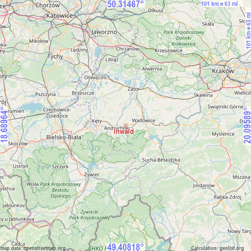
Inwałd GPS coordinates[2]
49° 51' 48.78" North, 19° 23' 33.936" East
| Map corner | latitude | longitude |
|---|---|---|
| Upper-left | 50.31467°, | 18.68964° |
| Center: | 49.86355°, | 19.39276° |
| Lower-right: | 49.40818°, | 20.09589° |
| Map W x H: | 100.8×100.8 km | = 62.6×62.6mi |
| max Lat: | 54.83135° ⇑89.2% North |
| Inwałd: | 49.86355° |
| min Lat: | ⇓10.8% South 49.21328° |
| min Long | Inwałd | max Long |
| 14.20249° | 19.39276° | 24.03723° |
| W 47.2%⇐ | ⇒52.8% E |
Elevation
Elevation of Inwałd is 319 m = 1047 ft, and this is 127.6 m = 419 ft above average elevation for this country.
| Max E: |
974 m = 3196 ft | 10.8% |
| Inwałd | 319 m 1047 ft | |
| Avg. | 191.4 m = 628 ft | |
Min E: |
-3 m = -10 ft | 89.2% |
See also: Poland elevation on elevation.city.
Geographical zone
Inwałd is located in North temperate zone (between Tropic of Cancer and the Arctic Circle). Distance of this North polar circle is 1856.9 km =1153.8 mi to North.| Distance of | km | miles | from Inwałd |
|---|---|---|---|
| North Pole | 4462.8 | 2773.1 | to North |
| Arctic Circle | 1856.9 | 1153.8 | to North |
| Tropic Cancer | 2938.4 | 1825.8 | to South |
| Equator | 5544.3 | 3445.1 | to South |


Nearby cities:
15 places around Inwałd: (largest is in red/bold)
• Andrychów
4 km =2.5 mi,  256°
256°
• Brzezinka
6.8 km =4.2 mi,  245°
245°
• Bulowice
7.6 km =4.7 mi,  280°
280°
• Chocznia
4.6 km =2.9 mi,  75°
75°
• Frydrychowice
5 km =3.1 mi,  22°
22°
• Nidek
6.7 km =4.2 mi,  313°
313°
• Ponikiew
6.2 km =3.9 mi,  122°
122°
• Roczyny
5.6 km =3.5 mi, 258°
• Rzyki
5.8 km =3.6 mi,  177°
177°
• Sułkowice
5.5 km =3.4 mi,  205°
205°
• Targanice
8.1 km =5 mi,  217°
217°
• Tomice
7.5 km =4.7 mi,  59°
59°
• Wadowice
7.5 km =4.7 mi,  72°
72°
• Wieprz
4 km =2.5 mi,  319°
319°
• Zagórnik
3.1 km =1.9 mi,  198°
198°
Sources, notices
• [Note1] Compared only with cities in Poland existing in our database
• [Src1] Map data: © OpenStreetMap contributors (CC-BY-SA)
• [Src2] Other city data from geonames.org with taken over terms of usage.
• [Src3] Geographical zone / Annual Mean Temperature by Robert A. Rohde @ Wikipedia
