Grzybowo geodata
Grzybowo (West Pomerania) is a populated place; located in Poland in Europe/Warsaw (GMT+2) time zone. With population of 1,347 people, there are 2023 cities with bigger population in this country. Compared to other cities in Poland, 95.8% of cities are located further ↓South; 95.4% of cities are located further →East and 99.5% of cities have higher elevation than Grzybowo. Note1


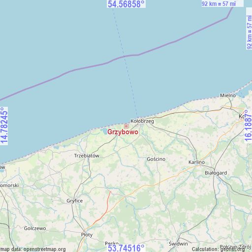
Grzybowo GPS coordinates[2]
54° 9' 32.112" North, 15° 29' 8.052" East
| Map corner | latitude | longitude |
|---|---|---|
| Upper-left | 54.56858°, | 14.78245° |
| Center: | 54.15892°, | 15.48557° |
| Lower-right: | 53.74516°, | 16.1887° |
| Map W x H: | 91.6×91.6 km | = 56.9×56.9mi |
| max Lat: | 54.83135° ⇑4.2% North |
| Grzybowo: | 54.15892° |
| min Lat: | ⇓95.8% South 49.21328° |
| min Long | Grzybowo | max Long |
| 14.20249° | 15.48557° | 24.03723° |
| W 4.6%⇐ | ⇒95.4% E |
Elevation
Elevation of Grzybowo is 2 m = 7 ft, and this is 189.4 m = 621 ft below average elevation for this country.
| Max E: |
974 m = 3196 ft | 99.5% |
| Avg. | 191.4 m = 628 ft | |
| Grzybowo | 2 m = 7 ft | |
Min E: |
-3 m = -10 ft | 0.5% |
See also: Poland elevation on elevation.city.
Geographical zone
Grzybowo is located in North temperate zone (between Tropic of Cancer and the Arctic Circle). Distance of this North polar circle is 1379.3 km =857.1 mi to North.| Distance of | km | miles | from Grzybowo |
|---|---|---|---|
| North Pole | 3985.2 | 2476.3 | to North |
| Arctic Circle | 1379.3 | 857.1 | to North |
| Tropic Cancer | 3416 | 2122.6 | to South |
| Equator | 6021.9 | 3741.8 | to South |


Nearby cities:
15 places around Grzybowo: (largest is in red/bold)
• Brojce
23.9 km =14.9 mi,  200°
200°
• Cerkwica
29.8 km =18.5 mi,  235°
235°
• Drzonowo
7.7 km =4.8 mi, 204°
• Dygowo
15.6 km =9.7 mi,  101°
101°
• Dźwirzyno
4.8 km =3 mi,  270°
270°
• Gościno
16.2 km =10.1 mi,  137°
137°
• Karlino
29 km =18 mi,  118°
118°
• Kołobrzeg
6.6 km =4.1 mi,  73°
73°
• Mrzeżyno
12.8 km =8 mi,  262°
262°
• Mysłowice
31 km =19.3 mi,  161°
161°
• Niechorze
27.3 km =17 mi, 255°
• Rymań
24.1 km =15 mi,  173°
173°
• Siemyśl
14.9 km =9.3 mi, 167°
• Trzebiatów
18 km =11.2 mi,  233°
233°
• Ustronie Morskie
18.7 km =11.6 mi, 70°
Sources, notices
• [Note1] Compared only with cities in Poland existing in our database
• [Src1] Map data: © OpenStreetMap contributors (CC-BY-SA)
• [Src2] Other city data from geonames.org with taken over terms of usage.
• [Src3] Geographical zone / Annual Mean Temperature by Robert A. Rohde @ Wikipedia
