Biskupiec geodata
Biskupiec (Warmia-Masuria) is a populated place; located in Poland in Europe/Warsaw (GMT+2) time zone. With population of 1,927 people, there are 1536 cities with bigger population in this country. Compared to other cities in Poland, 89.6% of cities are located further ↓South; 53.5% of cities are located further →East and 86.1% of cities have higher elevation than Biskupiec. Note1


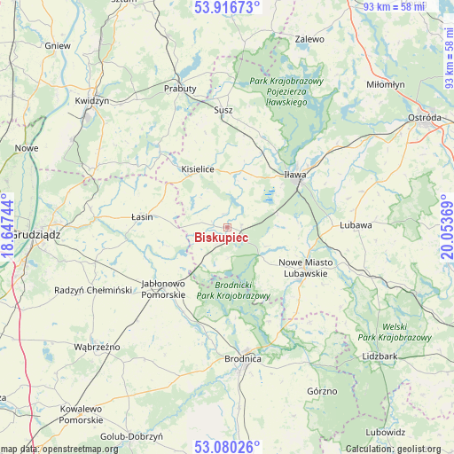
Biskupiec GPS coordinates[2]
53° 30' 2.016" North, 19° 21' 2.016" East
| Map corner | latitude | longitude |
|---|---|---|
| Upper-left | 53.91673°, | 18.64744° |
| Center: | 53.50056°, | 19.35056° |
| Lower-right: | 53.08026°, | 20.05369° |
| Map W x H: | 93×93 km | = 57.8×57.8mi |
| max Lat: | 54.83135° ⇑10.4% North |
| Biskupiec: | 53.50056° |
| min Lat: | ⇓89.6% South 49.21328° |
| min Long | Biskupiec | max Long |
| 14.20249° | 19.35056° | 24.03723° |
| W 46.5%⇐ | ⇒53.5% E |
Elevation
Elevation of Biskupiec is 87 m = 285 ft, and this is 104.4 m = 343 ft below average elevation for this country.
| Max E: |
974 m = 3196 ft | 86.1% |
| Avg. | 191.4 m = 628 ft | |
| Biskupiec | 87 m = 285 ft | |
Min E: |
-3 m = -10 ft | 13.9% |
See also: Poland elevation on elevation.city.
Geographical zone
Biskupiec is located in North temperate zone (between Tropic of Cancer and the Arctic Circle). Distance of this North polar circle is 1452.5 km =902.5 mi to North.| Distance of | km | miles | from Biskupiec |
|---|---|---|---|
| North Pole | 4058.4 | 2521.8 | to North |
| Arctic Circle | 1452.5 | 902.5 | to North |
| Tropic Cancer | 3342.8 | 2077.1 | to South |
| Equator | 5948.7 | 3696.3 | to South |


Nearby cities:
15 places around Biskupiec: (largest is in red/bold)
• Bobrowo
24.5 km =15.2 mi,  192°
192°
• Brzozie
25.7 km =16 mi,  139°
139°
• Brzozie Lubawskie
22.5 km =14 mi, 140°
• Iława
17.9 km =11.1 mi,  53°
53°
• Jabłonowo Pomorskie
17.7 km =11 mi,  226°
226°
• Kisielice
13.3 km =8.3 mi,  334°
334°
• Kurzętnik
18.9 km =11.7 mi,  126°
126°
• Lipinki
4.1 km =2.5 mi,  212°
212°
• Lubawa
26.4 km =16.4 mi,  89°
89°
• Nowe Miasto Lubawskie
18.5 km =11.5 mi,  118°
118°
• Ostrowite
10.3 km =6.4 mi, 209°
• Susz
24.1 km =15 mi,  357°
357°
• Zbiczno
18.6 km =11.6 mi,  175°
175°
• Łasin
17.4 km =10.8 mi,  276°
276°
• Świecie nad Osą
17.6 km =10.9 mi,  249°
249°
Sources, notices
• [Note1] Compared only with cities in Poland existing in our database
• [Src1] Map data: © OpenStreetMap contributors (CC-BY-SA)
• [Src2] Other city data from geonames.org with taken over terms of usage.
• [Src3] Geographical zone / Annual Mean Temperature by Robert A. Rohde @ Wikipedia
