Jawornik geodata
Jawornik (Subcarpathian) is a populated place; located in Poland in Europe/Warsaw (GMT+2) time zone. With population of 1,200 people, there are 2164 cities with bigger population in this country. Compared to other cities in Poland, 90% of cities are located further ↑North; 83.4% of cities are located further ←West and 81.4% of cities have lower elevation than Jawornik. Note1


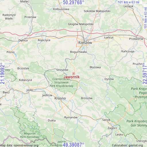
Jawornik GPS coordinates[2]
49° 50' 47.04" North, 21° 53' 38.544" East
| Map corner | latitude | longitude |
|---|---|---|
| Upper-left | 50.29768°, | 21.19092° |
| Center: | 49.8464°, | 21.89404° |
| Lower-right: | 49.39087°, | 22.59717° |
| Map W x H: | 100.8×100.8 km | = 62.6×62.6mi |
| max Lat: | 54.83135° ⇑90% North |
| Jawornik: | 49.8464° |
| min Lat: | ⇓10% South 49.21328° |
| min Long | Jawornik | max Long |
| 14.20249° | 21.89404° | 24.03723° |
| W 83.4%⇐ | ⇒16.6% E |
Elevation
Elevation of Jawornik is 273 m = 896 ft, and this is 81.6 m = 268 ft above average elevation for this country.
| Max E: |
974 m = 3196 ft | 18.6% |
| Jawornik | 273 m 896 ft | |
| Avg. | 191.4 m = 628 ft | |
Min E: |
-3 m = -10 ft | 81.4% |
See also: Poland elevation on elevation.city.
Geographical zone
Jawornik is located in North temperate zone (between Tropic of Cancer and the Arctic Circle). Distance of this North polar circle is 1858.8 km =1155 mi to North.| Distance of | km | miles | from Jawornik |
|---|---|---|---|
| North Pole | 4464.7 | 2774.2 | to North |
| Arctic Circle | 1858.8 | 1155 | to North |
| Tropic Cancer | 2936.5 | 1824.7 | to South |
| Equator | 5542.4 | 3443.9 | to South |


Nearby cities:
15 places around Jawornik: (largest is in red/bold)
• Babica
10 km =6.2 mi,  350°
350°
• Białka
10.5 km =6.5 mi,  74°
74°
• Czudec
11.6 km =7.2 mi,  340°
340°
• Domaradz
7.6 km =4.7 mi,  150°
150°
• Gwoźnica Górna
7.7 km =4.8 mi,  105°
105°
• Jasienica Rosielna
11.1 km =6.9 mi,  162°
162°
• Konieczkowa
2.5 km =1.6 mi,  101°
101°
• Krasna
8.4 km =5.2 mi,  200°
200°
• Lecka
9.3 km =5.8 mi, 67°
• Lubenia
9.7 km =6 mi,  13°
13°
• Niebylec
1.3 km =0.8 mi,  30°
30°
• Połomia
6.5 km =4 mi,  358°
358°
• Straszydle
8.7 km =5.4 mi,  46°
46°
• Strzyżów
7.7 km =4.8 mi,  290°
290°
• Wysoka Strzyżowska
11.1 km =6.9 mi,  260°
260°
Sources, notices
• [Note1] Compared only with cities in Poland existing in our database
• [Src1] Map data: © OpenStreetMap contributors (CC-BY-SA)
• [Src2] Other city data from geonames.org with taken over terms of usage.
• [Src3] Geographical zone / Annual Mean Temperature by Robert A. Rohde @ Wikipedia
