Toa Baja geodata
Toa Baja is a seat of a first-order administrative division; located in Puerto Rico in America/Puerto_Rico (GMT-4) time zone. With population of 1,889 people, there are 148 cities with bigger population in this country. Compared to other cities in Puerto Rico, 89.3% of cities are located further ↓South; 55.6% of cities are located further ←West and 94.7% of cities have higher elevation than Toa Baja. Note1


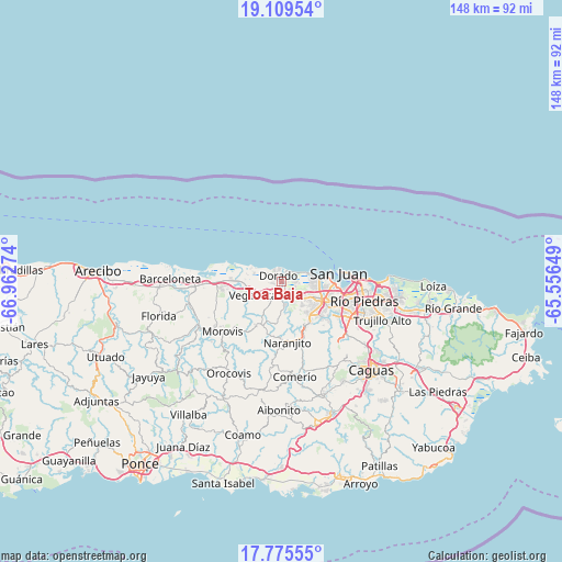
Toa Baja GPS coordinates[2]
18° 26' 37.824" North, 66° 15' 34.596" West
| Map corner | latitude | longitude |
|---|---|---|
| Upper-left | 19.10954°, | -66.96274° |
| Center: | 18.44384°, | -66.25961° |
| Lower-right: | 17.77555°, | -65.55649° |
| Map W x H: | 148.3×148.3 km | = 92.1×92.1mi |
| max Lat: | 18.50078° ⇑10.7% North |
| Toa Baja: | 18.44384° |
| min Lat: | ⇓89.3% South 17.95358° |
| min Long | Toa Baja | max Long |
| -67.2499° | -66.25961° | -65.30099° |
| W 55.6%⇐ | ⇒44.4% E |
Elevation
Elevation of Toa Baja is 6 m = 20 ft, and this is 94.5 m = 310 ft below average elevation for this country.
| Max E: |
655 m = 2149 ft | 94.7% |
| Avg. | 100.5 m = 330 ft | |
| Toa Baja | 6 m = 20 ft | |
Min E: |
1 m = 3 ft | 5.3% |
See also: Puerto Rico elevation on elevation.city.
Geographical zone
Toa Baja is located in North Torrid zone (between Equator and Tropic of Cancer). Distance of this Northern Tropic circle is 555.2 km =345 mi to North.| Distance of | km | miles | from Toa Baja |
|---|---|---|---|
| North Pole | 7956.3 | 4943.8 | to North |
| Arctic Circle | 5350.4 | 3324.6 | to North |
| Tropic Cancer | 555.2 | 345 | to North |
| Equator | 2050.8 | 1274.3 | to South |


Nearby cities:
15 places around Toa Baja: (largest is in red/bold)
• Brenas
9 km =5.6 mi,  286°
286°
• Campanilla
3.5 km =2.2 mi,  136°
136°
• Candelaria
6.9 km =4.3 mi,  129°
129°
• Candelaria Arenas
5.4 km =3.4 mi,  123°
123°
• Dorado
1.9 km =1.2 mi,  332°
332°
• Galateo
9.1 km =5.7 mi,  179°
179°
• Ingenio
3.6 km =2.2 mi,  92°
92°
• Levittown
8.3 km =5.2 mi, 85°
• Mucarabones
7.5 km =4.7 mi, 142°
• Río Lajas
5.5 km =3.4 mi,  188°
188°
• Sabana Seca
8.1 km =5 mi,  103°
103°
• San Antonio
4.6 km =2.9 mi,  276°
276°
• San José
5.1 km =3.2 mi, 175°
• Toa Alta
6.3 km =3.9 mi,  168°
168°
• Vega Alta
8.3 km =5.2 mi,  245°
245°
Sources, notices
• [Note1] Compared only with cities in Puerto Rico existing in our database
• [Src1] Map data: © OpenStreetMap contributors (CC-BY-SA)
• [Src2] Other city data from geonames.org with taken over terms of usage.
• [Src3] Geographical zone / Annual Mean Temperature by Robert A. Rohde @ Wikipedia
