San Juan Nepomuceno geodata
San Juan Nepomuceno (Caazapá) is a populated place; located in Paraguay in America/Asuncion (GMT-4) time zone. With population of 7,893 people, there are 42 cities with bigger population in this country. Compared to other cities in Paraguay, 71.6% of cities are located further ↑North; 72.8% of cities are located further ←West and 53.7% of cities have lower elevation than San Juan Nepomuceno. Note1


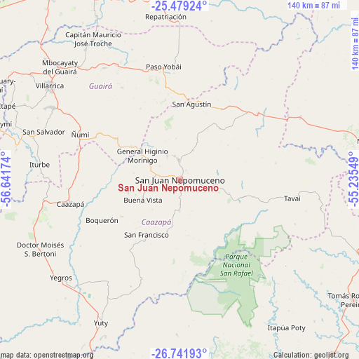
San Juan Nepomuceno GPS coordinates[2]
26° 6' 44.244" South, 55° 56' 18.996" West
| Map corner | latitude | longitude |
|---|---|---|
| Upper-left | -25.47924°, | -56.64174° |
| Center: | -26.11229°, | -55.93861° |
| Lower-right: | -26.74193°, | -55.23549° |
| Map W x H: | 140.4×140.4 km | = 87.2×87.2mi |
| max Lat: | -19.91667° ⇑71.6% North |
| San Juan Nepomuceno: | -26.11229° |
| min Lat: | ⇓28.4% South -27.38662° |
| min Long | San Juan Nepomu | max Long |
| -60.78333° | -55.93861° | -54.30694° |
| W 72.8%⇐ | ⇒27.2% E |
Elevation
Elevation of San Juan Nepomuceno is 145 m = 476 ft, and this is 24.7 m = 81 ft below average elevation for this country.
| Max E: |
658 m = 2159 ft | 46.3% |
| Avg. | 169.7 m = 557 ft | |
| San Juan Nepomuceno | 145 m = 476 ft | |
Min E: |
46 m = 151 ft | 53.7% |
See also: Paraguay elevation on elevation.city.
Geographical zone
San Juan Nepomuceno is located in South temperate zone (between Tropic of Capricorn and the Antarctic Circle). Distance of this Southern Tropic circle is 297.5 km =184.9 mi to North.| Distance of | km | miles | from San Juan Nepomuceno |
|---|---|---|---|
| Equator | 2903.4 | 1804.1 | to North |
| Tropic Capricorn | 297.5 | 184.9 | to North |
| Antarctic Circle | 4497.8 | 2794.8 | to South |
| South Pole | 7103.6 | 4414 | to South |


Nearby cities:
15 places around San Juan Nepomuceno: (largest is in red/bold)
• Abaí
8.8 km =5.5 mi,  3°
3°
• Alto Verá
60.6 km =37.7 mi,  149°
149°
• Buena Vista
16.4 km =10.2 mi,  240°
240°
• Caazapá
43.9 km =27.3 mi,  257°
257°
• General Higinio Morínigo
18.2 km =11.3 mi,  6°
6°
• Independencia
57.3 km =35.6 mi,  324°
324°
• Itapuá Poty
63 km =39.1 mi, 145°
• Iturbe
54.9 km =34.1 mi,  276°
276°
• Maciel
53.9 km =33.5 mi, 261°
• Natalicio Talavera
64.4 km =40 mi,  325°
325°
• Repatriación
64.4 km =40 mi,  358°
358°
• Villarrica
64 km =39.8 mi,  309°
309°
• Yegros
59.4 km =36.9 mi,  230°
230°
• Yuty
63.7 km =39.6 mi,  208°
208°
• Ñumi
43 km =26.7 mi,  294°
294°
Sources, notices
• [Note1] Compared only with cities in Paraguay existing in our database
• [Src1] Map data: © OpenStreetMap contributors (CC-BY-SA)
• [Src2] Other city data from geonames.org with taken over terms of usage.
• [Src3] Geographical zone / Annual Mean Temperature by Robert A. Rohde @ Wikipedia
