Vâlcelele de Sus geodata
Vâlcelele de Sus (Olt) is a populated place; located in Romania in Europe/Bucharest (GMT+3) time zone. With population of 1,062 people, there are 4080 cities with bigger population in this country. Compared to other cities in Romania, 91.1% of cities are located further ↑North; 59.5% of cities are located further →East and 63.7% of cities have higher elevation than Vâlcelele de Sus. Note1


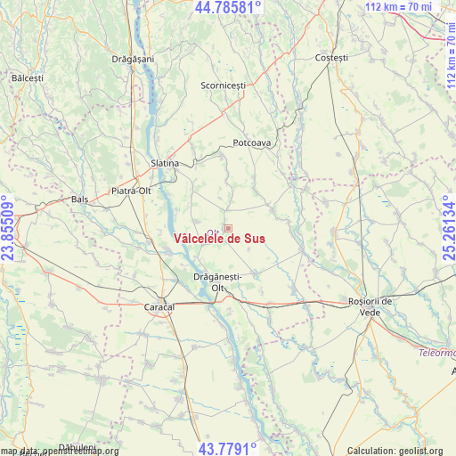
Vâlcelele de Sus GPS coordinates[2]
44° 17' 4.596" North, 24° 33' 29.556" East
| Map corner | latitude | longitude |
|---|---|---|
| Upper-left | 44.78581°, | 23.85509° |
| Center: | 44.28461°, | 24.55821° |
| Lower-right: | 43.7791°, | 25.26134° |
| Map W x H: | 111.9×111.9 km | = 69.5×69.5mi |
| max Lat: | 48.23793° ⇑91.1% North |
| Vâlcelele de Sus: | 44.28461° |
| min Lat: | ⇓8.9% South 43.65638° |
| min Long | Vâlcelele de S | max Long |
| 20.31667° | 24.55821° | 29.65403° |
| W 40.5%⇐ | ⇒59.5% E |
Elevation
Elevation of Vâlcelele de Sus is 152 m = 499 ft, and this is 102.9 m = 338 ft below average elevation for this country.
| Max E: |
1278 m = 4193 ft | 63.7% |
| Avg. | 254.9 m = 836 ft | |
| Vâlcelele de Sus | 152 m = 499 ft | |
Min E: |
-2 m = -7 ft | 36.3% |
See also: Romania elevation on elevation.city.
Geographical zone
Vâlcelele de Sus is located in North temperate zone (between Tropic of Cancer and the Arctic Circle). Distance of this Northern Tropic circle is 2318.1 km =1440.4 mi to South.| Distance of | km | miles | from Vâlcelele de Sus |
|---|---|---|---|
| North Pole | 5083.1 | 3158.5 | to North |
| Arctic Circle | 2477.2 | 1539.3 | to North |
| Tropic Cancer | 2318.1 | 1440.4 | to South |
| Equator | 4924 | 3059.6 | to South |


Nearby cities:
15 places around Vâlcelele de Sus: (largest is in red/bold)
• Alimănești
3.4 km =2.1 mi,  206°
206°
• Buta
12.3 km =7.6 mi,  77°
77°
• Bălănești
7.2 km =4.5 mi,  237°
237°
• Bărcănești
2 km =1.2 mi,  333°
333°
• Catanele
10.8 km =6.7 mi,  1°
1°
• Coteana
7.5 km =4.7 mi,  283°
283°
• Greci
5.1 km =3.2 mi, 0°
• Izvoarele
3.9 km =2.4 mi, 238°
• Lisa
7.8 km =4.8 mi,  345°
345°
• Movileni
11.7 km =7.3 mi,  38°
38°
• Măgura
12.1 km =7.5 mi,  358°
358°
• Mărunţei
11.9 km =7.4 mi,  217°
217°
• Schitu
7.3 km =4.5 mi,  5°
5°
• Vâlcele
1.2 km =0.7 mi,  259°
259°
• Șerbăneștii de Sus
11.5 km =7.1 mi,  59°
59°
Sources, notices
• [Note1] Compared only with cities in Romania existing in our database
• [Src1] Map data: © OpenStreetMap contributors (CC-BY-SA)
• [Src2] Other city data from geonames.org with taken over terms of usage.
• [Src3] Geographical zone / Annual Mean Temperature by Robert A. Rohde @ Wikipedia
