Sinaia geodata
Sinaia (Prahova) is a seat of a second-order administrative division; located in Romania in Europe/Bucharest (GMT+3) time zone. With population of 11,918 people, there are 162 cities with bigger population in this country. Compared to other cities in Romania, 57.9% of cities are located further ↑North; 55.2% of cities are located further ←West and 98.5% of cities have lower elevation than Sinaia. Note1


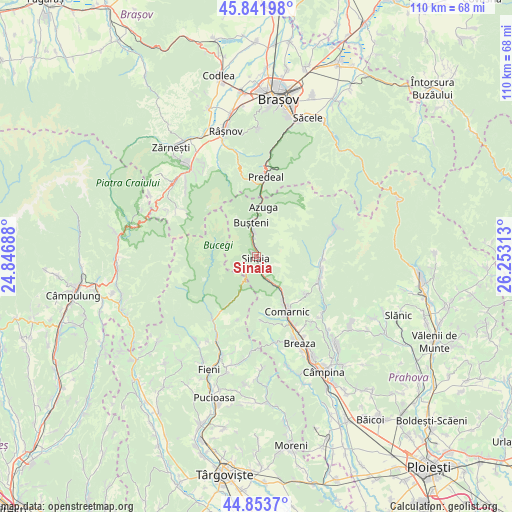
Sinaia GPS coordinates[2]
45° 21' 0" North, 25° 33' 0" East
| Map corner | latitude | longitude |
|---|---|---|
| Upper-left | 45.84198°, | 24.84688° |
| Center: | 45.35°, | 25.55° |
| Lower-right: | 44.8537°, | 26.25313° |
| Map W x H: | 109.9×109.9 km | = 68.3×68.3mi |
| max Lat: | 48.23793° ⇑57.9% North |
| Sinaia: | 45.35° |
| min Lat: | ⇓42.1% South 43.65638° |
| min Long | Sinaia | max Long |
| 20.31667° | 25.55° | 29.65403° |
| W 55.2%⇐ | ⇒44.8% E |
Elevation
Elevation of Sinaia is 813 m = 2667 ft, and this is 558.1 m = 1831 ft above average elevation for this country.
| Max E: |
1278 m = 4193 ft | 1.5% |
| Sinaia | 813 m 2667 ft | |
| Avg. | 254.9 m = 836 ft | |
Min E: |
-2 m = -7 ft | 98.5% |
See also: Romania elevation on elevation.city.
Geographical zone
Sinaia is located in North temperate zone (between Tropic of Cancer and the Arctic Circle). Distance of this North polar circle is 2358.7 km =1465.6 mi to North.| Distance of | km | miles | from Sinaia |
|---|---|---|---|
| North Pole | 4964.6 | 3084.9 | to North |
| Arctic Circle | 2358.7 | 1465.6 | to North |
| Tropic Cancer | 2436.5 | 1514 | to South |
| Equator | 5042.4 | 3133.2 | to South |


Nearby cities:
15 places around Sinaia: (largest is in red/bold)
• Azuga
11.1 km =6.9 mi,  0°
0°
• Buşteni
5.7 km =3.5 mi,  346°
346°
• Comarnic
12.9 km =8 mi,  149°
149°
• Ghioșești
13.4 km =8.3 mi, 153°
• Glod
14.4 km =8.9 mi,  213°
213°
• Plaiu
14.9 km =9.3 mi,  166°
166°
• Podu Lung
14.9 km =9.3 mi, 149°
• Poiana
14.6 km =9.1 mi,  142°
142°
• Poiana Țapului
4.9 km =3 mi, 351°
• Posada
8.8 km =5.5 mi, 142°
• Pucheni
16.5 km =10.3 mi, 213°
• Secăria
12.8 km =8 mi,  125°
125°
• Talea
13.9 km =8.6 mi,  175°
175°
• Teșila
14.5 km =9 mi,  110°
110°
• Trăisteni
13.9 km =8.6 mi,  95°
95°
Sources, notices
• [Note1] Compared only with cities in Romania existing in our database
• [Src1] Map data: © OpenStreetMap contributors (CC-BY-SA)
• [Src2] Other city data from geonames.org with taken over terms of usage.
• [Src3] Geographical zone / Annual Mean Temperature by Robert A. Rohde @ Wikipedia
