Moraviţa geodata
Moraviţa (Timiş) is a seat of a second-order administrative division; located in Romania in Europe/Bucharest (GMT+3) time zone. With population of 2,368 people, there are 2260 cities with bigger population in this country. Compared to other cities in Romania, 60.1% of cities are located further ↑North; 98.5% of cities are located further →East and 85.4% of cities have higher elevation than Moraviţa. Note1


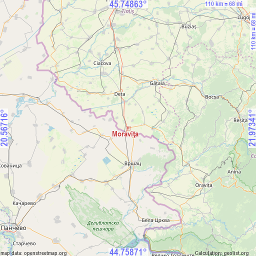
Moraviţa GPS coordinates[2]
45° 15' 20.988" North, 21° 16' 13.008" East
| Map corner | latitude | longitude |
|---|---|---|
| Upper-left | 45.74863°, | 20.56716° |
| Center: | 45.25583°, | 21.27028° |
| Lower-right: | 44.75871°, | 21.97341° |
| Map W x H: | 110.1×110.1 km | = 68.4×68.4mi |
| max Lat: | 48.23793° ⇑60.1% North |
| Moraviţa: | 45.25583° |
| min Lat: | ⇓39.9% South 43.65638° |
| min Long | Moraviţa | max Long |
| 20.31667° | 21.27028° | 29.65403° |
| W 1.5%⇐ | ⇒98.5% E |
Elevation
Elevation of Moraviţa is 77 m = 253 ft, and this is 177.9 m = 584 ft below average elevation for this country.
| Max E: |
1278 m = 4193 ft | 85.4% |
| Avg. | 254.9 m = 836 ft | |
| Moraviţa | 77 m = 253 ft | |
Min E: |
-2 m = -7 ft | 14.6% |
See also: Romania elevation on elevation.city.
Geographical zone
Moraviţa is located in North temperate zone (between Tropic of Cancer and the Arctic Circle). Distance of this North polar circle is 2369.2 km =1472.2 mi to North.| Distance of | km | miles | from Moraviţa |
|---|---|---|---|
| North Pole | 4975.1 | 3091.4 | to North |
| Arctic Circle | 2369.2 | 1472.2 | to North |
| Tropic Cancer | 2426.1 | 1507.5 | to South |
| Equator | 5032 | 3126.7 | to South |


Nearby cities:
15 places around Moraviţa: (largest is in red/bold)
• Banloc
18 km =11.2 mi,  324°
324°
• Birda
20.2 km =12.6 mi,  16°
16°
• Breștea
10.8 km =6.7 mi,  2°
2°
• Clopodia
15.6 km =9.7 mi,  79°
79°
• Denta
11 km =6.8 mi,  351°
351°
• Deta
15.2 km =9.4 mi, 346°
• Ferendia
19.1 km =11.9 mi,  69°
69°
• Gătaia
23.1 km =14.4 mi,  32°
32°
• Jamu Mare
11.5 km =7.1 mi,  90°
90°
• Livezile
22.3 km =13.9 mi,  312°
312°
• Opatița
17.6 km =10.9 mi,  359°
359°
• Soca
15.3 km =9.5 mi,  327°
327°
• Stamora Germană
3.2 km =2 mi, 332°
• Sângeorge
16.4 km =10.2 mi,  13°
13°
• Voiteg
23.8 km =14.8 mi, 354°
Sources, notices
• [Note1] Compared only with cities in Romania existing in our database
• [Src1] Map data: © OpenStreetMap contributors (CC-BY-SA)
• [Src2] Other city data from geonames.org with taken over terms of usage.
• [Src3] Geographical zone / Annual Mean Temperature by Robert A. Rohde @ Wikipedia
