Sangar geodata
Sangar (Sakha) is a populated place; located in Russia in Asia/Yakutsk (GMT+9) time zone. With population of 4,633 people, there are 2808 cities with bigger population in this country. Compared to other cities in Russia, 96.9% of cities are located further ↓South; 93.7% of cities are located further ←West and 78% of cities have higher elevation than Sangar. Note1


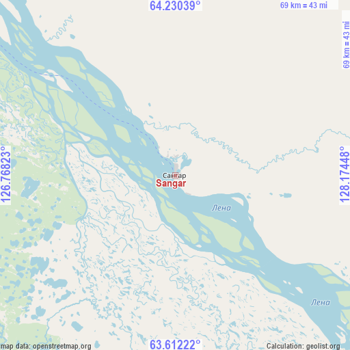
Sangar GPS coordinates[2]
63° 55' 22.836" North, 127° 28' 16.86" East
| Map corner | latitude | longitude |
|---|---|---|
| Upper-left | 64.23039°, | 126.76823° |
| Center: | 63.92301°, | 127.47135° |
| Lower-right: | 63.61222°, | 128.17448° |
| Map W x H: | 68.7×68.7 km | = 42.7×42.7mi |
| max Lat: | 73.50819° ⇑3.1% North |
| Sangar: | 63.92301° |
| min Lat: | ⇓96.9% South 41.28413° |
| min Long | Sangar | max Long |
| -179.12198° | 127.47135° | 179.35046° |
| W 93.7%⇐ | ⇒6.3% E |
Elevation
Elevation of Sangar is 77 m = 253 ft, and this is 125.6 m = 412 ft below average elevation for this country.
| Max E: |
2518 m = 8261 ft | 78% |
| Avg. | 202.6 m = 665 ft | |
| Sangar | 77 m = 253 ft | |
Min E: |
-28 m = -92 ft | 22% |
See also: Russia elevation on elevation.city.
Geographical zone
Sangar is located in North temperate zone (between Tropic of Cancer and the Arctic Circle). Distance of this North polar circle is 293.6 km =182.4 mi to North.| Distance of | km | miles | from Sangar |
|---|---|---|---|
| North Pole | 2899.5 | 1801.7 | to North |
| Arctic Circle | 293.6 | 182.4 | to North |
| Tropic Cancer | 4501.7 | 2797.2 | to South |
| Equator | 7107.6 | 4416.5 | to South |


Nearby cities:
15 places around Sangar: (largest is in red/bold)
• Berdigestyakh
206.6 km =128.4 mi,  190°
190°
• Borogontsy
231.1 km =143.6 mi,  127°
127°
• Kangalassy
215.3 km =133.8 mi,  144°
144°
• Khatassy
249.5 km =155 mi,  153°
153°
• Magan
227 km =141.1 mi, 152°
• Markha
231.4 km =143.8 mi, 150°
• Mayya
281.7 km =175 mi, 149°
• Mokhsogollokh
290.7 km =180.6 mi,  165°
165°
• Namtsy
173 km =107.5 mi, 140°
• Nizhniy Bestyakh
250.5 km =155.7 mi, 150°
• Pokrovsk
284.8 km =177 mi,  162°
162°
• Staraya Tabaga
258.1 km =160.4 mi, 154°
• Tabaga
254 km =157.8 mi, 154°
• Yakutsk
239.1 km =148.6 mi, 151°
• Zhatay
229.2 km =142.4 mi, 148°
Sources, notices
• [Note1] Compared only with cities in Russia existing in our database
• [Src1] Map data: © OpenStreetMap contributors (CC-BY-SA)
• [Src2] Other city data from geonames.org with taken over terms of usage.
• [Src3] Geographical zone / Annual Mean Temperature by Robert A. Rohde @ Wikipedia
