Svobodnyy geodata
Svobodnyy (Amur Oblast) is a populated place; located in Russia in Asia/Yakutsk (GMT+9) time zone. With population of 61,017 people, there are 344 cities with bigger population in this country. Compared to other cities in Russia, 73.2% of cities are located further ↑North; 93.9% of cities are located further ←West and 64.6% of cities have lower elevation than Svobodnyy. Note1


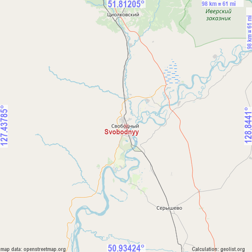
Svobodnyy GPS coordinates[2]
51° 22' 30.9" North, 128° 8' 27.492" East
| Map corner | latitude | longitude |
|---|---|---|
| Upper-left | 51.81205°, | 127.43785° |
| Center: | 51.37525°, | 128.14097° |
| Lower-right: | 50.93424°, | 128.8441° |
| Map W x H: | 97.6×97.6 km | = 60.6×60.6mi |
| max Lat: | 73.50819° ⇑73.2% North |
| Svobodnyy: | 51.37525° |
| min Lat: | ⇓26.8% South 41.28413° |
| min Long | Svobodnyy | max Long |
| -179.12198° | 128.14097° | 179.35046° |
| W 93.9%⇐ | ⇒6.1% E |
Elevation
Elevation of Svobodnyy is 181 m = 594 ft, and this is 21.6 m = 71 ft below average elevation for this country.
| Max E: |
2518 m = 8261 ft | 35.4% |
| Avg. | 202.6 m = 665 ft | |
| Svobodnyy | 181 m = 594 ft | |
Min E: |
-28 m = -92 ft | 64.6% |
See also: Svobodnyy elevation on elevation.city.
Geographical zone
Svobodnyy is located in North temperate zone (between Tropic of Cancer and the Arctic Circle). Distance of this North polar circle is 1688.8 km =1049.4 mi to North.| Distance of | km | miles | from Svobodnyy |
|---|---|---|---|
| North Pole | 4294.7 | 2668.6 | to North |
| Arctic Circle | 1688.8 | 1049.4 | to North |
| Tropic Cancer | 3106.5 | 1930.3 | to South |
| Equator | 5712.4 | 3549.5 | to South |


Nearby cities:
15 places around Svobodnyy: (largest is in red/bold)
• Belogorsk
56.1 km =34.9 mi,  155°
155°
• Blagoveshchensk
128.9 km =80.1 mi,  199°
199°
• Konstantinovka
195.6 km =121.5 mi,  183°
183°
• Raychikhinsk
197.7 km =122.8 mi,  153°
153°
• Romny
108.4 km =67.4 mi,  132°
132°
• Seryshevo
35.5 km =22.1 mi, 151°
• Shimanovsk
77 km =47.8 mi,  335°
335°
• Sivaki
169.4 km =105.3 mi,  325°
325°
• Srednebelaya
80.2 km =49.8 mi,  186°
186°
• Talakan
193.9 km =120.5 mi, 129°
• Tambovka
142 km =88.2 mi, 182°
• Tsiolkovskiy
43.6 km =27.1 mi,  357°
357°
• Ushumun
191.4 km =118.9 mi, 325°
• Yekaterinoslavka
130.5 km =81.1 mi, 148°
• Zavitinsk
167.7 km =104.2 mi, 146°
Sources, notices
• [Note1] Compared only with cities in Russia existing in our database
• [Src1] Map data: © OpenStreetMap contributors (CC-BY-SA)
• [Src2] Other city data from geonames.org with taken over terms of usage.
• [Src3] Geographical zone / Annual Mean Temperature by Robert A. Rohde @ Wikipedia
