Khrebtovaya geodata
Khrebtovaya (Irkutsk Oblast) is a populated place; located in Russia in Asia/Irkutsk (GMT+8) time zone. With population of 2,017 people, there are 4139 cities with bigger population in this country. Compared to other cities in Russia, 74.4% of cities are located further ↓South; 89.5% of cities are located further ←West and 93.9% of cities have lower elevation than Khrebtovaya. Note1


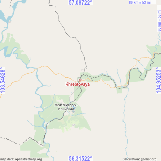
Khrebtovaya GPS coordinates[2]
56° 42' 11.52" North, 104° 14' 57.84" East
| Map corner | latitude | longitude |
|---|---|---|
| Upper-left | 57.08722°, | 103.54628° |
| Center: | 56.7032°, | 104.2494° |
| Lower-right: | 56.31522°, | 104.95253° |
| Map W x H: | 85.8×85.8 km | = 53.3×53.3mi |
| max Lat: | 73.50819° ⇑25.6% North |
| Khrebtovaya: | 56.7032° |
| min Lat: | ⇓74.4% South 41.28413° |
| min Long | Khrebtovaya | max Long |
| -179.12198° | 104.2494° | 179.35046° |
| W 89.5%⇐ | ⇒10.5% E |
Elevation
Elevation of Khrebtovaya is 579 m = 1900 ft, and this is 376.4 m = 1235 ft above average elevation for this country.
| Max E: |
2518 m = 8261 ft | 6.1% |
| Khrebtovaya | 579 m 1900 ft | |
| Avg. | 202.6 m = 665 ft | |
Min E: |
-28 m = -92 ft | 93.9% |
See also: Russia elevation on elevation.city.
Geographical zone
Khrebtovaya is located in North temperate zone (between Tropic of Cancer and the Arctic Circle). Distance of this North polar circle is 1096.4 km =681.3 mi to North.| Distance of | km | miles | from Khrebtovaya |
|---|---|---|---|
| North Pole | 3702.3 | 2300.5 | to North |
| Arctic Circle | 1096.4 | 681.3 | to North |
| Tropic Cancer | 3698.9 | 2298.4 | to South |
| Equator | 6304.8 | 3917.6 | to South |


Nearby cities:
15 places around Khrebtovaya: (largest is in red/bold)
• Bereznyaki
48 km =29.8 mi,  302°
302°
• Bratsk
174 km =108.1 mi,  248°
248°
• Magistral’nyy
204.9 km =127.3 mi,  106°
106°
• Markovo
185 km =115 mi,  68°
68°
• Novaya Igirma
52.1 km =32.4 mi,  336°
336°
• Rudnogorsk
69.2 km =43 mi,  334°
334°
• Shestakovo
29.5 km =18.3 mi,  216°
216°
• Ust’-Ilimsk
172.8 km =107.4 mi, 326°
• Ust’-Kut
93.1 km =57.8 mi,  83°
83°
• Vidim
77.1 km =47.9 mi,  244°
244°
• Vikhorevka
199.7 km =124.1 mi, 251°
• Yantal’
63.3 km =39.3 mi, 75°
• Zheleznodorozhnyy
160.2 km =99.5 mi, 326°
• Zheleznogorsk-Ilimskiy
16.1 km =10 mi,  209°
209°
• Zvëzdnyy
136.2 km =84.6 mi,  87°
87°
Sources, notices
• [Note1] Compared only with cities in Russia existing in our database
• [Src1] Map data: © OpenStreetMap contributors (CC-BY-SA)
• [Src2] Other city data from geonames.org with taken over terms of usage.
• [Src3] Geographical zone / Annual Mean Temperature by Robert A. Rohde @ Wikipedia
