Chagda geodata
Chagda (Sakha) is a populated place; located in Russia in Asia/Yakutsk (GMT+9) time zone. With population of 568 people, there are 4919 cities with bigger population in this country. Compared to other cities in Russia, 85.7% of cities are located further ↓South; 94.4% of cities are located further ←West and 69% of cities have lower elevation than Chagda. Note1


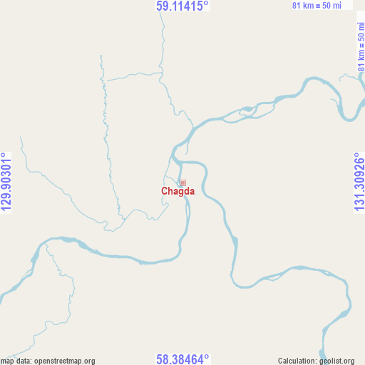
Chagda GPS coordinates[2]
58° 45' 4.716" North, 130° 36' 22.068" East
| Map corner | latitude | longitude |
|---|---|---|
| Upper-left | 59.11415°, | 129.90301° |
| Center: | 58.75131°, | 130.60613° |
| Lower-right: | 58.38464°, | 131.30926° |
| Map W x H: | 81.1×81.1 km | = 50.4×50.4mi |
| max Lat: | 73.50819° ⇑14.3% North |
| Chagda: | 58.75131° |
| min Lat: | ⇓85.7% South 41.28413° |
| min Long | Chagda | max Long |
| -179.12198° | 130.60613° | 179.35046° |
| W 94.4%⇐ | ⇒5.6% E |
Elevation
Elevation of Chagda is 194 m = 636 ft, and this is 8.6 m = 28 ft below average elevation for this country.
| Max E: |
2518 m = 8261 ft | 31% |
| Avg. | 202.6 m = 665 ft | |
| Chagda | 194 m = 636 ft | |
Min E: |
-28 m = -92 ft | 69% |
See also: Russia elevation on elevation.city.
Geographical zone
Chagda is located in North temperate zone (between Tropic of Cancer and the Arctic Circle). Distance of this North polar circle is 868.6 km =539.7 mi to North.| Distance of | km | miles | from Chagda |
|---|---|---|---|
| North Pole | 3474.5 | 2159 | to North |
| Arctic Circle | 868.6 | 539.7 | to North |
| Tropic Cancer | 3926.6 | 2439.9 | to South |
| Equator | 6532.5 | 4059.1 | to South |


Nearby cities:
15 places around Chagda: (largest is in red/bold)
• Amga
250.9 km =155.9 mi,  17°
17°
• Borogontsy
436.8 km =271.4 mi,  3°
3°
• Churapcha
374.7 km =232.8 mi, 15°
• Kangalassy
401.5 km =249.5 mi,  354°
354°
• Khatassy
354.9 km =220.5 mi, 351°
• Magan
377.8 km =234.8 mi, 351°
• Markha
376.9 km =234.2 mi, 352°
• Mayya
332.6 km =206.7 mi,  356°
356°
• Mokhsogollokh
308.3 km =191.6 mi,  342°
342°
• Nizhniy Bestyakh
359 km =223.1 mi, 353°
• Pokrovsk
313.9 km =195 mi, 344°
• Staraya Tabaga
345.5 km =214.7 mi, 351°
• Tabaga
349.5 km =217.2 mi, 350°
• Yakutsk
368.1 km =228.7 mi, 352°
• Zhatay
381.4 km =237 mi, 353°
Sources, notices
• [Note1] Compared only with cities in Russia existing in our database
• [Src1] Map data: © OpenStreetMap contributors (CC-BY-SA)
• [Src2] Other city data from geonames.org with taken over terms of usage.
• [Src3] Geographical zone / Annual Mean Temperature by Robert A. Rohde @ Wikipedia
