Langepas geodata
Langepas (Khanty-Mansia) is a populated place; located in Russia in Asia/Yekaterinburg (GMT+5) time zone. With population of 40,000 people, there are 524 cities with bigger population in this country. Compared to other cities in Russia, 93.5% of cities are located further ↓South; 78.3% of cities are located further ←West and 84.4% of cities have higher elevation than Langepas. Note1


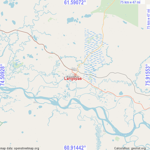
Langepas GPS coordinates[2]
61° 15' 15.804" North, 75° 12' 44.64" East
| Map corner | latitude | longitude |
|---|---|---|
| Upper-left | 61.59072°, | 74.50928° |
| Center: | 61.25439°, | 75.2124° |
| Lower-right: | 60.91442°, | 75.91553° |
| Map W x H: | 75.2×75.2 km | = 46.7×46.7mi |
| max Lat: | 73.50819° ⇑6.5% North |
| Langepas: | 61.25439° |
| min Lat: | ⇓93.5% South 41.28413° |
| min Long | Langepas | max Long |
| -179.12198° | 75.2124° | 179.35046° |
| W 78.3%⇐ | ⇒21.7% E |
Elevation
Elevation of Langepas is 50 m = 164 ft, and this is 152.6 m = 501 ft below average elevation for this country.
| Max E: |
2518 m = 8261 ft | 84.4% |
| Avg. | 202.6 m = 665 ft | |
| Langepas | 50 m = 164 ft | |
Min E: |
-28 m = -92 ft | 15.6% |
See also: Langepas elevation on elevation.city.
Geographical zone
Langepas is located in North temperate zone (between Tropic of Cancer and the Arctic Circle). Distance of this North polar circle is 590.3 km =366.8 mi to North.| Distance of | km | miles | from Langepas |
|---|---|---|---|
| North Pole | 3196.2 | 1986 | to North |
| Arctic Circle | 590.3 | 366.8 | to North |
| Tropic Cancer | 4204.9 | 2612.8 | to South |
| Equator | 6810.8 | 4232 | to South |


Nearby cities:
15 places around Langepas: (largest is in red/bold)
• Barsovo
110 km =68.4 mi,  264°
264°
• Fedorovskiy
88.8 km =55.2 mi,  296°
296°
• Izluchinsk
96.9 km =60.2 mi,  108°
108°
• Kogalym
118.8 km =73.8 mi,  341°
341°
• Lokosovo
25.1 km =15.6 mi,  237°
237°
• Megion
54.4 km =33.8 mi,  117°
117°
• Nizhnevartovsk
80.4 km =50 mi, 116°
• Novoagansk
108.5 km =67.4 mi,  44°
44°
• Pokachi
52.4 km =32.6 mi,  9°
9°
• Poykovskiy
100.5 km =62.4 mi,  268°
268°
• Pyt-Yakh
138.7 km =86.2 mi,  246°
246°
• Russkinskiye
131.2 km =81.5 mi,  319°
319°
• Singapay
137.1 km =85.2 mi, 265°
• Solnechniy
108.6 km =67.5 mi, 271°
• Surgut
96 km =59.7 mi, 269°
Sources, notices
• [Note1] Compared only with cities in Russia existing in our database
• [Src1] Map data: © OpenStreetMap contributors (CC-BY-SA)
• [Src2] Other city data from geonames.org with taken over terms of usage.
• [Src3] Geographical zone / Annual Mean Temperature by Robert A. Rohde @ Wikipedia
