Vetluga geodata
Vetluga (Nizhny Novgorod Oblast) is a populated place; located in Russia in Europe/Moscow (GMT+3) time zone. With population of 8,455 people, there are 1724 cities with bigger population in this country. Compared to other cities in Russia, 81.8% of cities are located further ↓South; 52.2% of cities are located further ←West and 63% of cities have higher elevation than Vetluga. Note1


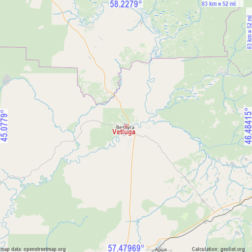
Vetluga GPS coordinates[2]
57° 51' 20.664" North, 45° 46' 51.672" East
| Map corner | latitude | longitude |
|---|---|---|
| Upper-left | 58.2279°, | 45.0779° |
| Center: | 57.85574°, | 45.78102° |
| Lower-right: | 57.47969°, | 46.48415° |
| Map W x H: | 83.2×83.2 km | = 51.7×51.7mi |
| max Lat: | 73.50819° ⇑18.2% North |
| Vetluga: | 57.85574° |
| min Lat: | ⇓81.8% South 41.28413° |
| min Long | Vetluga | max Long |
| -179.12198° | 45.78102° | 179.35046° |
| W 52.2%⇐ | ⇒47.8% E |
Elevation
Elevation of Vetluga is 118 m = 387 ft, and this is 84.6 m = 278 ft below average elevation for this country.
| Max E: |
2518 m = 8261 ft | 63% |
| Avg. | 202.6 m = 665 ft | |
| Vetluga | 118 m = 387 ft | |
Min E: |
-28 m = -92 ft | 37% |
See also: Russia elevation on elevation.city.
Geographical zone
Vetluga is located in North temperate zone (between Tropic of Cancer and the Arctic Circle). Distance of this North polar circle is 968.2 km =601.6 mi to North.| Distance of | km | miles | from Vetluga |
|---|---|---|---|
| North Pole | 3574.1 | 2220.8 | to North |
| Arctic Circle | 968.2 | 601.6 | to North |
| Tropic Cancer | 3827 | 2378 | to South |
| Equator | 6433 | 3997.3 | to South |


Nearby cities:
15 places around Vetluga: (largest is in red/bold)
• Ar’ya
42 km =26.1 mi,  164°
164°
• Manturovo
79.6 km =49.5 mi,  311°
311°
• Pizhma
79 km =49.1 mi,  89°
89°
• Ponazyrevo
64 km =39.8 mi,  29°
29°
• Prudy
42.8 km =26.6 mi,  137°
137°
• Shakhun’ya
53.2 km =33.1 mi,  112°
112°
• Shar’ya
59.2 km =36.8 mi,  344°
344°
• Shaygino
64.8 km =40.3 mi,  98°
98°
• Syava
36.5 km =22.7 mi,  61°
61°
• Tonkino
67.3 km =41.8 mi, 142°
• Tonshayevo
74.2 km =46.1 mi, 100°
• Uren’
44.5 km =27.7 mi,  179°
179°
• Vakhtan
55 km =34.2 mi,  77°
77°
• Varnavino
64.9 km =40.3 mi,  219°
219°
• Vetluzhskiy
62.2 km =38.6 mi, 342°
Sources, notices
• [Note1] Compared only with cities in Russia existing in our database
• [Src1] Map data: © OpenStreetMap contributors (CC-BY-SA)
• [Src2] Other city data from geonames.org with taken over terms of usage.
• [Src3] Geographical zone / Annual Mean Temperature by Robert A. Rohde @ Wikipedia
