Vakhtan geodata
Vakhtan (Nizhny Novgorod Oblast) is a populated place; located in Russia in Europe/Moscow (GMT+3) time zone. With population of 4,889 people, there are 2712 cities with bigger population in this country. Compared to other cities in Russia, 82.5% of cities are located further ↓South; 54.8% of cities are located further ←West and 57.3% of cities have higher elevation than Vakhtan. Note1


Vakhtan GPS coordinates[2]
57° 57' 57.312" North, 46° 41' 19.896" East
| Map corner | latitude | longitude |
|---|---|---|
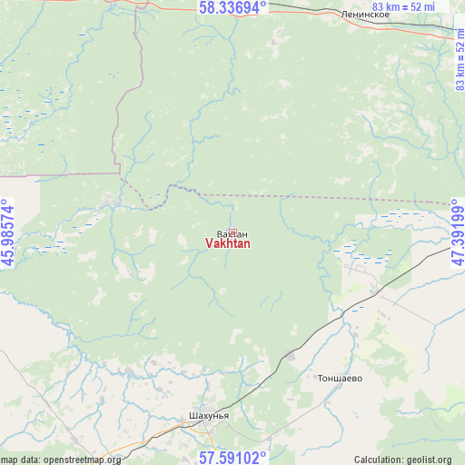
| Upper-left | 58.33694°, | 45.98574° |
| Center: | 57.96592°, | 46.68886° |
| Lower-right: | 57.59102°, | 47.39199° |
| Map W x H: | 82.9×82.9 km | = 51.5×51.5mi |
| max Lat: | 73.50819° ⇑17.5% North |
| Vakhtan: | 57.96592° |
| min Lat: | ⇓82.5% South 41.28413° |
| min Long | Vakhtan | max Long |
| -179.12198° | 46.68886° | 179.35046° |
| W 54.8%⇐ | ⇒45.2% E |
Elevation
Elevation of Vakhtan is 130 m = 427 ft, and this is 72.6 m = 238 ft below average elevation for this country.
| Max E: |
2518 m = 8261 ft | 57.3% |
| Avg. | 202.6 m = 665 ft | |
| Vakhtan | 130 m = 427 ft | |
Min E: |
-28 m = -92 ft | 42.7% |
See also: Russia elevation on elevation.city.
Geographical zone
Vakhtan is located in North temperate zone (between Tropic of Cancer and the Arctic Circle). Distance of this North polar circle is 956 km =594 mi to North.| Distance of | km | miles | from Vakhtan |
|---|---|---|---|
| North Pole | 3561.9 | 2213.3 | to North |
| Arctic Circle | 956 | 594 | to North |
| Tropic Cancer | 3839.3 | 2385.6 | to South |
| Equator | 6445.2 | 4004.9 | to South |


Nearby cities:
15 places around Vakhtan: (largest is in red/bold)
• Ar’ya
68 km =42.3 mi,  219°
219°
• Kiknur
79.7 km =49.5 mi,  157°
157°
• Leninskoye
45.5 km =28.3 mi,  31°
31°
• Mirnyy
81.4 km =50.6 mi,  43°
43°
• Pizhma
27.7 km =17.2 mi,  114°
114°
• Ponazyrevo
48.8 km =30.3 mi,  333°
333°
• Prudy
50.1 km =31.1 mi,  209°
209°
• Shakhun’ya
32.6 km =20.3 mi,  188°
188°
• Shaygino
24.3 km =15.1 mi, 155°
• Svecha
59.7 km =37.1 mi,  54°
54°
• Syava
22.3 km =13.9 mi,  284°
284°
• Tonkino
67.3 km =41.8 mi, 191°
• Tonshayevo
31.9 km =19.8 mi,  143°
143°
• Uren’
78.1 km =48.5 mi, 223°
• Vetluga
55 km =34.2 mi,  257°
257°
Sources, notices
• [Note1] Compared only with cities in Russia existing in our database
• [Src1] Map data: © OpenStreetMap contributors (CC-BY-SA)
• [Src2] Other city data from geonames.org with taken over terms of usage.
• [Src3] Geographical zone / Annual Mean Temperature by Robert A. Rohde @ Wikipedia
