Verkhnedneprovskiy geodata
Verkhnedneprovskiy (Smolensk) is a populated place; located in Russia in Europe/Moscow (GMT+3) time zone. With population of 13,903 people, there are 1149 cities with bigger population in this country. Compared to other cities in Russia, 53% of cities are located further ↓South; 91.5% of cities are located further →East and 74.6% of cities have lower elevation than Verkhnedneprovskiy. Note1


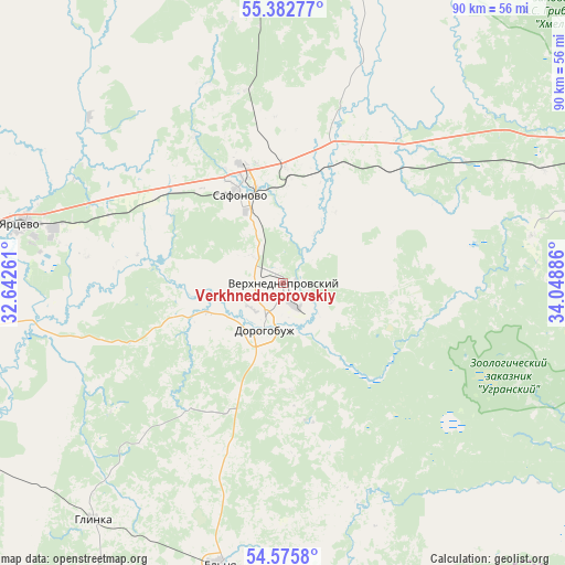
Verkhnedneprovskiy GPS coordinates[2]
54° 58' 52.716" North, 33° 20' 44.628" East
| Map corner | latitude | longitude |
|---|---|---|
| Upper-left | 55.38277°, | 32.64261° |
| Center: | 54.98131°, | 33.34573° |
| Lower-right: | 54.5758°, | 34.04886° |
| Map W x H: | 89.7×89.7 km | = 55.7×55.7mi |
| max Lat: | 73.50819° ⇑47% North |
| Verkhnedneprovskiy: | 54.98131° |
| min Lat: | ⇓53% South 41.28413° |
| min Long | Verkhnedneprovs | max Long |
| -179.12198° | 33.34573° | 179.35046° |
| W 8.5%⇐ | ⇒91.5% E |
Elevation
Elevation of Verkhnedneprovskiy is 215 m = 705 ft, and this is 12.4 m = 41 ft above average elevation for this country.
| Max E: |
2518 m = 8261 ft | 25.4% |
| Verkhnedneprovskiy | 215 m 705 ft | |
| Avg. | 202.6 m = 665 ft | |
Min E: |
-28 m = -92 ft | 74.6% |
See also: Russia elevation on elevation.city.
Geographical zone
Verkhnedneprovskiy is located in North temperate zone (between Tropic of Cancer and the Arctic Circle). Distance of this North polar circle is 1287.8 km =800.2 mi to North.| Distance of | km | miles | from Verkhnedneprovskiy |
|---|---|---|---|
| North Pole | 3893.7 | 2419.4 | to North |
| Arctic Circle | 1287.8 | 800.2 | to North |
| Tropic Cancer | 3507.4 | 2179.4 | to South |
| Equator | 6113.3 | 3798.6 | to South |


Nearby cities:
15 places around Verkhnedneprovskiy: (largest is in red/bold)
• Dorogobuzh
8 km =5 mi,  202°
202°
• Dukhovshchina
63.9 km =39.7 mi,  291°
291°
• Glinka
48.3 km =30 mi,  218°
218°
• Kardymovo
59.3 km =36.8 mi,  260°
260°
• Kholm-Zhirkovskiy
60.3 km =37.5 mi,  7°
7°
• Pechersk
85.2 km =52.9 mi, 260°
• Pochinok
86.4 km =53.7 mi, 222°
• Safonovo
16.1 km =10 mi,  333°
333°
• Smolensk
86.4 km =53.7 mi, 255°
• Spas-Demensk
76.8 km =47.7 mi,  145°
145°
• Talashkino
82.9 km =51.5 mi,  244°
244°
• Ugra
66.7 km =41.4 mi,  109°
109°
• Vyaz’ma
65.6 km =40.8 mi,  67°
67°
• Yartsevo
42.5 km =26.4 mi,  282°
282°
• Yel’nya
46 km =28.6 mi,  193°
193°
Sources, notices
• [Note1] Compared only with cities in Russia existing in our database
• [Src1] Map data: © OpenStreetMap contributors (CC-BY-SA)
• [Src2] Other city data from geonames.org with taken over terms of usage.
• [Src3] Geographical zone / Annual Mean Temperature by Robert A. Rohde @ Wikipedia
