Samur geodata
Samur (Dagestan) is a populated place; located in Russia in Europe/Moscow (GMT+3) time zone. With population of 3,730 people, there are 3247 cities with bigger population in this country. Compared to other cities in Russia, 99.7% of cities are located further ↑North; 60% of cities are located further ←West and 87.5% of cities have higher elevation than Samur. Note1


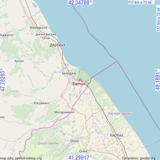
Samur GPS coordinates[2]
41° 49' 30.972" North, 48° 29' 9.492" East
| Map corner | latitude | longitude |
|---|---|---|
| Upper-left | 42.34708°, | 47.78285° |
| Center: | 41.82527°, | 48.48597° |
| Lower-right: | 41.29917°, | 49.1891° |
| Map W x H: | 116.5×116.5 km | = 72.4×72.4mi |
| max Lat: | 73.50819° ⇑99.7% North |
| Samur: | 41.82527° |
| min Lat: | ⇓0.3% South 41.28413° |
| min Long | Samur | max Long |
| -179.12198° | 48.48597° | 179.35046° |
| W 60%⇐ | ⇒40% E |
Elevation
Elevation of Samur is 38 m = 125 ft, and this is 164.6 m = 540 ft below average elevation for this country.
| Max E: |
2518 m = 8261 ft | 87.5% |
| Avg. | 202.6 m = 665 ft | |
| Samur | 38 m = 125 ft | |
Min E: |
-28 m = -92 ft | 12.5% |
See also: Russia elevation on elevation.city.
Geographical zone
Samur is located in North temperate zone (between Tropic of Cancer and the Arctic Circle). Distance of this Northern Tropic circle is 2044.6 km =1270.5 mi to South.| Distance of | km | miles | from Samur |
|---|---|---|---|
| North Pole | 5356.5 | 3328.4 | to North |
| Arctic Circle | 2750.6 | 1709.1 | to North |
| Tropic Cancer | 2044.6 | 1270.5 | to South |
| Equator | 4650.5 | 2889.7 | to South |


Nearby cities:
15 places around Samur: (largest is in red/bold)
• Belidzhi
9.6 km =6 mi,  320°
320°
• Chinar
42.3 km =26.3 mi, 317°
• Dagestanskiye Ogni
40.4 km =25.1 mi, 323°
• Derbent
31.5 km =19.6 mi,  328°
328°
• Gedzhukh
48.4 km =30.1 mi,  314°
314°
• Gereykhanovskoye
21.9 km =13.6 mi,  230°
230°
• Kasumkent
32.7 km =20.3 mi,  239°
239°
• Khazar
22.9 km =14.2 mi, 326°
• Khiv
46.7 km =29 mi,  260°
260°
• Khuchni
46.6 km =29 mi,  287°
287°
• Kurkent
33.2 km =20.6 mi,  247°
247°
• Magaramkent
25.9 km =16.1 mi,  206°
206°
• Novaya Maka
11.9 km =7.4 mi, 240°
• Sabnova
32.7 km =20.3 mi, 323°
• Syrtych
21.3 km =13.2 mi,  272°
272°
Sources, notices
• [Note1] Compared only with cities in Russia existing in our database
• [Src1] Map data: © OpenStreetMap contributors (CC-BY-SA)
• [Src2] Other city data from geonames.org with taken over terms of usage.
• [Src3] Geographical zone / Annual Mean Temperature by Robert A. Rohde @ Wikipedia
