Kez geodata
Kez (Udmurtiya Republic) is a seat of a second-order administrative division; located in Russia in Europe/Samara (GMT+4) time zone. With population of 10,792 people, there are 1400 cities with bigger population in this country. Compared to other cities in Russia, 82.1% of cities are located further ↓South; 65.4% of cities are located further ←West and 72.6% of cities have lower elevation than Kez. Note1


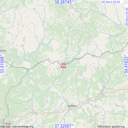
Kez GPS coordinates[2]
57° 53' 44.52" North, 53° 42' 47.52" East
| Map corner | latitude | longitude |
|---|---|---|
| Upper-left | 58.26745°, | 53.01008° |
| Center: | 57.8957°, | 53.7132° |
| Lower-right: | 57.52007°, | 54.41633° |
| Map W x H: | 83.1×83.1 km | = 51.6×51.6mi |
| max Lat: | 73.50819° ⇑17.9% North |
| Kez: | 57.8957° |
| min Lat: | ⇓82.1% South 41.28413° |
| min Long | Kez | max Long |
| -179.12198° | 53.7132° | 179.35046° |
| W 65.4%⇐ | ⇒34.6% E |
Elevation
Elevation of Kez is 207 m = 679 ft, and this is 4.4 m = 14 ft above average elevation for this country.
| Max E: |
2518 m = 8261 ft | 27.4% |
| Kez | 207 m 679 ft | |
| Avg. | 202.6 m = 665 ft | |
Min E: |
-28 m = -92 ft | 72.6% |
See also: Russia elevation on elevation.city.
Geographical zone
Kez is located in North temperate zone (between Tropic of Cancer and the Arctic Circle). Distance of this North polar circle is 963.8 km =598.9 mi to North.| Distance of | km | miles | from Kez |
|---|---|---|---|
| North Pole | 3569.7 | 2218.1 | to North |
| Arctic Circle | 963.8 | 598.9 | to North |
| Tropic Cancer | 3831.5 | 2380.8 | to South |
| Equator | 6437.4 | 4000 | to South |


Nearby cities:
15 places around Kez: (largest is in red/bold)
• Balezino
42.3 km =26.3 mi,  282°
282°
• Debesy
27.7 km =17.2 mi,  168°
168°
• Fakel
50.3 km =31.3 mi,  234°
234°
• Glazov
67.8 km =42.1 mi,  293°
293°
• Igra
54.5 km =33.9 mi, 225°
• Karagay
82.9 km =51.5 mi,  60°
60°
• Krasnogorskoye
75 km =46.6 mi,  253°
253°
• Mendeleyevo
81.4 km =50.6 mi,  68°
68°
• Ochër
59.5 km =37 mi,  90°
90°
• Pavlovskiy
67.1 km =41.7 mi,  95°
95°
• Sharkan
67 km =41.6 mi, 171°
• Siva
66.8 km =41.5 mi,  35°
35°
• Vereshchagino
59.2 km =36.8 mi, 69°
• Yunda
48.3 km =30 mi,  268°
268°
• Zyukayka
67.8 km =42.1 mi, 59°
Sources, notices
• [Note1] Compared only with cities in Russia existing in our database
• [Src1] Map data: © OpenStreetMap contributors (CC-BY-SA)
• [Src2] Other city data from geonames.org with taken over terms of usage.
• [Src3] Geographical zone / Annual Mean Temperature by Robert A. Rohde @ Wikipedia
