Krasnogorskoye geodata
Krasnogorskoye (Udmurtiya Republic) is a populated place; located in Russia in Europe/Samara (GMT+4) time zone. With population of 4,508 people, there are 2862 cities with bigger population in this country. Compared to other cities in Russia, 81% of cities are located further ↓South; 64.5% of cities are located further ←West and 80% of cities have lower elevation than Krasnogorskoye. Note1


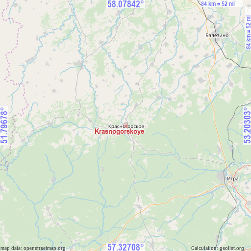
Krasnogorskoye GPS coordinates[2]
57° 42' 16.92" North, 52° 29' 59.64" East
| Map corner | latitude | longitude |
|---|---|---|
| Upper-left | 58.07842°, | 51.79678° |
| Center: | 57.7047°, | 52.4999° |
| Lower-right: | 57.32708°, | 53.20303° |
| Map W x H: | 83.5×83.5 km | = 51.9×51.9mi |
| max Lat: | 73.50819° ⇑19% North |
| Krasnogorskoye: | 57.7047° |
| min Lat: | ⇓81% South 41.28413° |
| min Long | Krasnogorskoye | max Long |
| -179.12198° | 52.4999° | 179.35046° |
| W 64.5%⇐ | ⇒35.5% E |
Elevation
Elevation of Krasnogorskoye is 248 m = 814 ft, and this is 45.4 m = 149 ft above average elevation for this country.
| Max E: |
2518 m = 8261 ft | 20% |
| Krasnogorskoye | 248 m 814 ft | |
| Avg. | 202.6 m = 665 ft | |
Min E: |
-28 m = -92 ft | 80% |
See also: Russia elevation on elevation.city.
Geographical zone
Krasnogorskoye is located in North temperate zone (between Tropic of Cancer and the Arctic Circle). Distance of this North polar circle is 985 km =612.1 mi to North.| Distance of | km | miles | from Krasnogorskoye |
|---|---|---|---|
| North Pole | 3590.9 | 2231.3 | to North |
| Arctic Circle | 985 | 612.1 | to North |
| Tropic Cancer | 3810.2 | 2367.5 | to South |
| Equator | 6416.2 | 3986.8 | to South |


Nearby cities:
15 places around Krasnogorskoye: (largest is in red/bold)
• Balezino
43 km =26.7 mi,  44°
44°
• Debesy
78 km =48.5 mi,  94°
94°
• Fakel
32.3 km =20.1 mi,  104°
104°
• Falënki
90.4 km =56.2 mi,  323°
323°
• Glazov
49.2 km =30.6 mi,  10°
10°
• Igra
37 km =23 mi,  116°
116°
• Kez
75 km =46.6 mi,  73°
73°
• Pudem
69.5 km =43.2 mi,  343°
343°
• Selty
48.7 km =30.3 mi,  206°
206°
• Syumsi
84.6 km =52.6 mi,  218°
218°
• Uni
60.1 km =37.3 mi,  274°
274°
• Uva
81.6 km =50.7 mi,  193°
193°
• Yar
64.5 km =40.1 mi, 338°
• Yukamenskoye
25.4 km =15.8 mi, 323°
• Yunda
30.7 km =19.1 mi,  49°
49°
Sources, notices
• [Note1] Compared only with cities in Russia existing in our database
• [Src1] Map data: © OpenStreetMap contributors (CC-BY-SA)
• [Src2] Other city data from geonames.org with taken over terms of usage.
• [Src3] Geographical zone / Annual Mean Temperature by Robert A. Rohde @ Wikipedia
