Makushino geodata
Makushino (Kurgan Oblast) is a populated place; located in Russia in Asia/Yekaterinburg (GMT+5) time zone. With population of 9,682 people, there are 1554 cities with bigger population in this country. Compared to other cities in Russia, 55.4% of cities are located further ↓South; 76.6% of cities are located further ←West and 52.6% of cities have higher elevation than Makushino. Note1


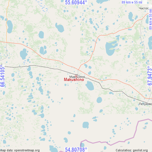
Makushino GPS coordinates[2]
55° 12' 37.008" North, 67° 14' 39.012" East
| Map corner | latitude | longitude |
|---|---|---|
| Upper-left | 55.60944°, | 66.54105° |
| Center: | 55.21028°, | 67.24417° |
| Lower-right: | 54.80708°, | 67.9473° |
| Map W x H: | 89.2×89.2 km | = 55.4×55.4mi |
| max Lat: | 73.50819° ⇑44.6% North |
| Makushino: | 55.21028° |
| min Lat: | ⇓55.4% South 41.28413° |
| min Long | Makushino | max Long |
| -179.12198° | 67.24417° | 179.35046° |
| W 76.6%⇐ | ⇒23.4% E |
Elevation
Elevation of Makushino is 139 m = 456 ft, and this is 63.6 m = 209 ft below average elevation for this country.
| Max E: |
2518 m = 8261 ft | 52.6% |
| Avg. | 202.6 m = 665 ft | |
| Makushino | 139 m = 456 ft | |
Min E: |
-28 m = -92 ft | 47.4% |
See also: Russia elevation on elevation.city.
Geographical zone
Makushino is located in North temperate zone (between Tropic of Cancer and the Arctic Circle). Distance of this North polar circle is 1262.4 km =784.4 mi to North.| Distance of | km | miles | from Makushino |
|---|---|---|---|
| North Pole | 3868.3 | 2403.6 | to North |
| Arctic Circle | 1262.4 | 784.4 | to North |
| Tropic Cancer | 3532.9 | 2195.2 | to South |
| Equator | 6138.8 | 3814.5 | to South |


Nearby cities:
15 places around Makushino: (largest is in red/bold)
• Armizonskoye
86.2 km =53.6 mi,  18°
18°
• Belozërskoye
124.6 km =77.4 mi,  303°
303°
• Glyadyanskoye
141.3 km =87.8 mi,  256°
256°
• Kazanskoye
134.6 km =83.6 mi,  68°
68°
• Ketovo
122.5 km =76.1 mi,  277°
277°
• Kurgan
123.8 km =76.9 mi, 282°
• Lebyazh’ye
48 km =29.8 mi, 277°
• Lesnikovo
122.4 km =76.1 mi,  273°
273°
• Mokrousovo
73.2 km =45.5 mi,  335°
335°
• Novoseleznëvo
134.4 km =83.5 mi, 67°
• Petukhovo
44.7 km =27.8 mi,  110°
110°
• Polovinnoye
92.8 km =57.7 mi,  239°
239°
• Uporovo
136.7 km =84.9 mi,  333°
333°
• Vargashi
90 km =55.9 mi, 280°
• Vvedenskoye
139.7 km =86.8 mi, 282°
Sources, notices
• [Note1] Compared only with cities in Russia existing in our database
• [Src1] Map data: © OpenStreetMap contributors (CC-BY-SA)
• [Src2] Other city data from geonames.org with taken over terms of usage.
• [Src3] Geographical zone / Annual Mean Temperature by Robert A. Rohde @ Wikipedia
