Tallboda geodata
Tallboda (Östergötland) is a populated place; located in Sweden in Europe/Stockholm (GMT+2) time zone. With population of 3,311 people, there are 376 cities with bigger population in this country. Compared to other cities in Sweden, 54% of cities are located further ↑North; 57.9% of cities are located further ←West and 51.1% of cities have higher elevation than Tallboda. Note1


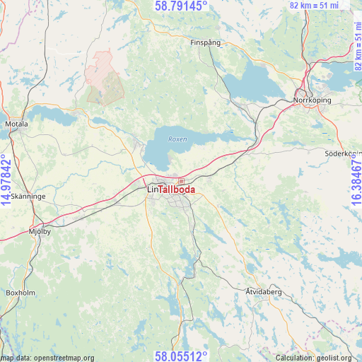
Tallboda GPS coordinates[2]
58° 25' 30.756" North, 15° 40' 53.544" East
| Map corner | latitude | longitude |
|---|---|---|
| Upper-left | 58.79145°, | 14.97842° |
| Center: | 58.42521°, | 15.68154° |
| Lower-right: | 58.05512°, | 16.38467° |
| Map W x H: | 81.9×81.9 km | = 50.9×50.9mi |
| max Lat: | 67.85572° ⇑54% North |
| Tallboda: | 58.42521° |
| min Lat: | ⇓46% South 55.34337° |
| min Long | Tallboda | max Long |
| 11.1712° | 15.68154° | 24.13676° |
| W 57.9%⇐ | ⇒42.1% E |
Elevation
Elevation of Tallboda is 48 m = 157 ft, and this is 34.6 m = 114 ft below average elevation for this country.
| Max E: |
663 m = 2175 ft | 51.1% |
| Avg. | 82.6 m = 271 ft | |
| Tallboda | 48 m = 157 ft | |
Min E: |
-1 m = -3 ft | 48.9% |
See also: Sweden elevation on elevation.city.
Geographical zone
Tallboda is located in North temperate zone (between Tropic of Cancer and the Arctic Circle). Distance of this North polar circle is 904.9 km =562.3 mi to North.| Distance of | km | miles | from Tallboda |
|---|---|---|---|
| North Pole | 3510.8 | 2181.5 | to North |
| Arctic Circle | 904.9 | 562.3 | to North |
| Tropic Cancer | 3890.4 | 2417.4 | to South |
| Equator | 6496.3 | 4036.6 | to South |


Nearby cities:
15 places around Tallboda: (largest is in red/bold)
• Askeby
9.9 km =6.2 mi,  101°
101°
• Berg
11.3 km =7 mi,  308°
308°
• Bestorp
21.5 km =13.4 mi,  171°
171°
• Ekängen
5.4 km =3.4 mi,  328°
328°
• Grebo
17.6 km =10.9 mi,  141°
141°
• Kimstad
21.4 km =13.3 mi,  49°
49°
• Linghem
6 km =3.7 mi,  81°
81°
• Linköping
3.8 km =2.4 mi,  245°
245°
• Ljungsbro
14.7 km =9.1 mi, 313°
• Malmslätt
9.7 km =6 mi,  260°
260°
• Norsholm
19.1 km =11.9 mi,  62°
62°
• Skärblacka
20.2 km =12.6 mi,  38°
38°
• Slaka
10.1 km =6.3 mi,  229°
229°
• Sturefors
10.7 km =6.6 mi,  163°
163°
• Vikingstad
15.3 km =9.5 mi, 252°
Sources, notices
• [Note1] Compared only with cities in Sweden existing in our database
• [Src1] Map data: © OpenStreetMap contributors (CC-BY-SA)
• [Src2] Other city data from geonames.org with taken over terms of usage.
• [Src3] Geographical zone / Annual Mean Temperature by Robert A. Rohde @ Wikipedia
