Ramsele geodata
Ramsele (Västernorrland) is a populated place; located in Sweden in Europe/Stockholm (GMT+2) time zone. With population of 858 people, there are 923 cities with bigger population in this country. Compared to other cities in Sweden, 91.5% of cities are located further ↓South; 68% of cities are located further ←West and 93.4% of cities have lower elevation than Ramsele. Note1
Administrative division(s):
- Level 1: Västernorrland
- Level 2: Sollefteå Kommun
- Level 3: Ramsele-Edsele
- Level 4: Ramsele socken


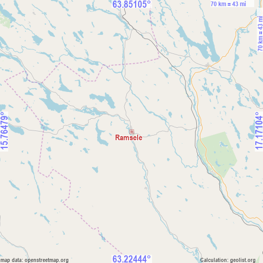
Ramsele GPS coordinates[2]
63° 32' 22.092" North, 16° 28' 4.476" East
| Map corner | latitude | longitude |
|---|---|---|
| Upper-left | 63.85105°, | 15.76479° |
| Center: | 63.53947°, | 16.46791° |
| Lower-right: | 63.22444°, | 17.17104° |
| Map W x H: | 69.7×69.7 km | = 43.3×43.3mi |
| max Lat: | 67.85572° ⇑8.5% North |
| Ramsele: | 63.53947° |
| min Lat: | ⇓91.5% South 55.34337° |
| min Long | Ramsele | max Long |
| 11.1712° | 16.46791° | 24.13676° |
| W 68%⇐ | ⇒32% E |
Elevation
Elevation of Ramsele is 230 m = 755 ft, and this is 147.4 m = 484 ft above average elevation for this country.
| Max E: |
663 m = 2175 ft | 6.6% |
| Ramsele | 230 m 755 ft | |
| Avg. | 82.6 m = 271 ft | |
Min E: |
-1 m = -3 ft | 93.4% |
See also: Sweden elevation on elevation.city.
Geographical zone
Ramsele is located in North temperate zone (between Tropic of Cancer and the Arctic Circle). Distance of this North polar circle is 336.2 km =208.9 mi to North.| Distance of | km | miles | from Ramsele |
|---|---|---|---|
| North Pole | 2942.1 | 1828.1 | to North |
| Arctic Circle | 336.2 | 208.9 | to North |
| Tropic Cancer | 4459 | 2770.7 | to South |
| Equator | 7064.9 | 4389.9 | to South |


Nearby cities:
15 places around Ramsele: (largest is in red/bold)
• Backe
31 km =19.3 mi,  353°
353°
• Bredbyn
82.1 km =51 mi,  97°
97°
• Dorotea
80.4 km =50 mi,  358°
358°
• Hammarstrand
48 km =29.8 mi,  186°
186°
• Hammerdal
54.8 km =34.1 mi,  274°
274°
• Hoting
65.1 km =40.5 mi, 348°
• Junsele
26.9 km =16.7 mi,  49°
49°
• Långsele
49.6 km =30.8 mi,  142°
142°
• Näsåker
24 km =14.9 mi,  116°
116°
• Sollefteå
57.5 km =35.7 mi, 136°
• Strömsund
56.8 km =35.3 mi,  307°
307°
• Stugun
59.9 km =37.2 mi,  226°
226°
• Sörvik
75.6 km =47 mi,  330°
330°
• Ås
20.1 km =12.5 mi,  163°
163°
• Åsele
81.4 km =50.6 mi,  31°
31°
Sources, notices
• [Note1] Compared only with cities in Sweden existing in our database
• [Src1] Map data: © OpenStreetMap contributors (CC-BY-SA)
• [Src2] Other city data from geonames.org with taken over terms of usage.
• [Src3] Geographical zone / Annual Mean Temperature by Robert A. Rohde @ Wikipedia
