Månkarbo geodata
Månkarbo (Uppsala) is a populated place; located in Sweden in Europe/Stockholm (GMT+2) time zone. With population of 671 people, there are 1097 cities with bigger population in this country. Compared to other cities in Sweden, 76.2% of cities are located further ↓South; 79.1% of cities are located further ←West and 60.3% of cities have higher elevation than Månkarbo. Note1


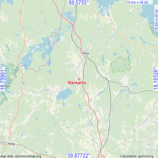
Månkarbo GPS coordinates[2]
60° 13' 41.592" North, 17° 27' 43.668" East
| Map corner | latitude | longitude |
|---|---|---|
| Upper-left | 60.5755°, | 16.75901° |
| Center: | 60.22822°, | 17.46213° |
| Lower-right: | 59.87722°, | 18.16526° |
| Map W x H: | 77.6×77.6 km | = 48.2×48.2mi |
| max Lat: | 67.85572° ⇑23.8% North |
| Månkarbo: | 60.22822° |
| min Lat: | ⇓76.2% South 55.34337° |
| min Long | Månkarbo | max Long |
| 11.1712° | 17.46213° | 24.13676° |
| W 79.1%⇐ | ⇒20.9% E |
Elevation
Elevation of Månkarbo is 35 m = 115 ft, and this is 47.6 m = 156 ft below average elevation for this country.
| Max E: |
663 m = 2175 ft | 60.3% |
| Avg. | 82.6 m = 271 ft | |
| Månkarbo | 35 m = 115 ft | |
Min E: |
-1 m = -3 ft | 39.7% |
See also: Sweden elevation on elevation.city.
Geographical zone
Månkarbo is located in North temperate zone (between Tropic of Cancer and the Arctic Circle). Distance of this North polar circle is 704.4 km =437.7 mi to North.| Distance of | km | miles | from Månkarbo |
|---|---|---|---|
| North Pole | 3310.3 | 2056.9 | to North |
| Arctic Circle | 704.4 | 437.7 | to North |
| Tropic Cancer | 4090.8 | 2541.9 | to South |
| Equator | 6696.8 | 4161.2 | to South |


Nearby cities:
15 places around Månkarbo: (largest is in red/bold)
• Björklinge
22.6 km =14 mi,  167°
167°
• Bälinge
31.2 km =19.4 mi, 172°
• Harbo
20.3 km =12.6 mi,  225°
225°
• Karby
11 km =6.8 mi,  142°
142°
• Lövstalöt
30.8 km =19.1 mi, 167°
• Skyttorp
22 km =13.7 mi, 137°
• Söderfors
21.4 km =13.3 mi,  323°
323°
• Tierp
13.1 km =8.1 mi,  13°
13°
• Tobo
11.2 km =7 mi,  72°
72°
• Tärnsjö
30.5 km =19 mi,  253°
253°
• Vattholma
27.9 km =17.3 mi,  147°
147°
• Viby
20.3 km =12.6 mi, 225°
• Örbyhus
13.2 km =8.2 mi,  92°
92°
• Österbybruk
24.4 km =15.2 mi,  97°
97°
• Östervåla
16.2 km =10.1 mi, 252°
Sources, notices
• [Note1] Compared only with cities in Sweden existing in our database
• [Src1] Map data: © OpenStreetMap contributors (CC-BY-SA)
• [Src2] Other city data from geonames.org with taken over terms of usage.
• [Src3] Geographical zone / Annual Mean Temperature by Robert A. Rohde @ Wikipedia
