Rateče geodata
Rateče (Kranjska Gora) is a populated place; located in Slovenia in Europe/Ljubljana (GMT+2) time zone. With population of 644 people, there are 398 cities with bigger population in this country. Compared to other cities in Slovenia, 75.7% of cities are located further ↓South; 94.8% of cities are located further →East and 99.7% of cities have lower elevation than Rateče. Note1


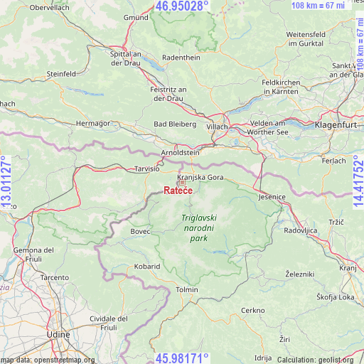
Rateče GPS coordinates[2]
46° 28' 5.34" North, 13° 42' 51.804" East
| Map corner | latitude | longitude |
|---|---|---|
| Upper-left | 46.95028°, | 13.01127° |
| Center: | 46.46815°, | 13.71439° |
| Lower-right: | 45.98171°, | 14.41752° |
| Map W x H: | 107.7×107.7 km | = 66.9×66.9mi |
| max Lat: | 46.83694° ⇑24.3% North |
| Rateče: | 46.46815° |
| min Lat: | ⇓75.7% South 45.47667° |
| min Long | Rateče | max Long |
| 13.52639° | 13.71439° | 16.4975° |
| W 5.2%⇐ | ⇒94.8% E |
Elevation
Elevation of Rateče is 1188 m = 3898 ft, and this is 862.4 m = 2829 ft above average elevation for this country.
| Max E: |
1551 m = 5089 ft | 0.3% |
| Rateče | 1188 m 3898 ft | |
| Avg. | 325.6 m = 1068 ft | |
Min E: |
2 m = 7 ft | 99.7% |
See also: Slovenia elevation on elevation.city.
Geographical zone
Rateče is located in North temperate zone (between Tropic of Cancer and the Arctic Circle). Distance of this North polar circle is 2234.4 km =1388.4 mi to North.| Distance of | km | miles | from Rateče |
|---|---|---|---|
| North Pole | 4840.3 | 3007.6 | to North |
| Arctic Circle | 2234.4 | 1388.4 | to North |
| Tropic Cancer | 2560.9 | 1591.3 | to South |
| Equator | 5166.8 | 3210.5 | to South |


Nearby cities:
15 places around Rateče: (largest is in red/bold)
• Bohinjska Bela
29.9 km =18.6 mi,  116°
116°
• Bohinjska Bistrica
28.5 km =17.7 mi,  139°
139°
• Bovec
19.1 km =11.9 mi,  220°
220°
• Dovje
19.7 km =12.2 mi,  89°
89°
• Gozd Martuljek
11.5 km =7.1 mi, 86°
• Hrušica
23.4 km =14.5 mi,  96°
96°
• Jesenice
27.3 km =17 mi, 98°
• Kobarid
26.6 km =16.5 mi,  202°
202°
• Kranjska Gora
5 km =3.1 mi, 104°
• Mojstrana
13.3 km =8.3 mi,  111°
111°
• Slovenski Javornik
28.9 km =18 mi, 99°
• Spodnje Gorje
25.3 km =15.7 mi, 103°
• Srednja Vas v Bohinju
25.1 km =15.6 mi, 140°
• Stara Fužina
18.8 km =11.7 mi,  147°
147°
• Zgornje Gorje
28.9 km =18 mi, 109°
Sources, notices
• [Note1] Compared only with cities in Slovenia existing in our database
• [Src1] Map data: © OpenStreetMap contributors (CC-BY-SA)
• [Src2] Other city data from geonames.org with taken over terms of usage.
• [Src3] Geographical zone / Annual Mean Temperature by Robert A. Rohde @ Wikipedia
